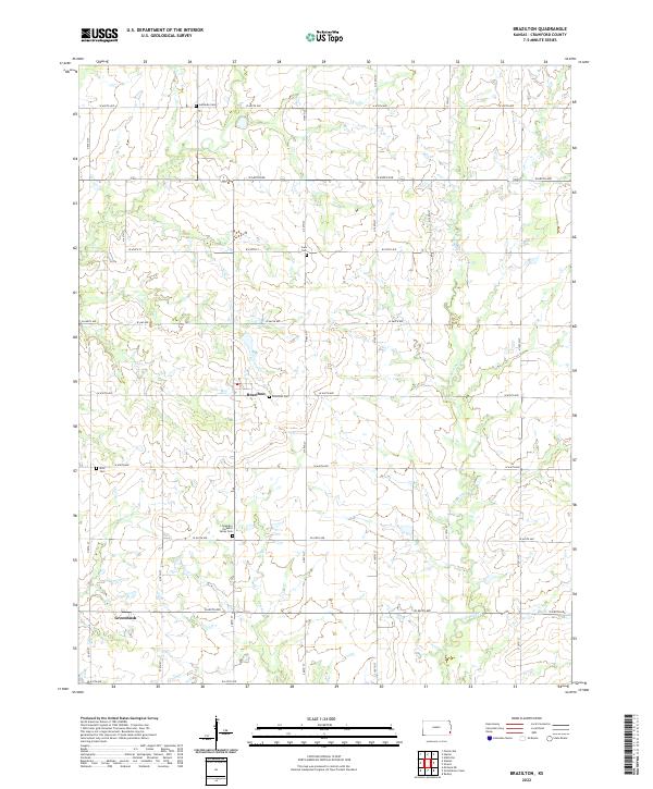
2022 Map of Brazilton
USGS Topo · Published 2022About this map
Brazilton and Greenbush anchor this Crawford County landscape, where the rectangular survey system of Section, Township, and Range remains the dominant organizing principle. The map reveals a high density of small rural burial grounds, suggesting the deep genealogical roots of the area's agricultural community. Notable sites include the Lutheran Cem to the north and the Spangler Pleasant Valley Cem further south. The terrain is subtly drained by several meandering waterways, specifically Lightning Cr, Hickory Cr, and Elm Cr, which cut through the grid of county roads. These gravel and paved routes, such as W 650th Ave and W 620th Ave, follow the section lines, defining the movement and settlement patterns of this Southeast Kansas prairie region.
Find a feature on this map
23 named features on this map. Tap any name to fly to it.
Don’t see what you’re looking for? This feature index may not catch every label — zoom into the map to look around manually.
Map Details
Editions of this 2022 Brazilton Map
This is the sole edition of this map. No revisions or reprints were ever made.
Other maps of this area

1884 · Fort Scott
USGS Topo · 1:125,000

1886 · Joplin
USGS Topo · 1:125,000

1886 · Iola
USGS Topo · 1:125,000

1886 · Fort Scott
USGS Topo · 1:125,000

1886 · Parsons
USGS Topo · 1:125,000

1893 · Fort Scott
USGS Topo · 1:125,000

1893 · Iola
USGS Topo · 1:125,000

1893 · Parsons
USGS Topo · 1:125,000

1894 · Joplin
USGS Topo · 1:125,000

1904 · Iola
USGS Topo · 1:125,000