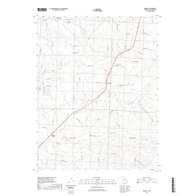
2017 Map of Brazito
USGS Topo · Published 2017About this map
South Moreau Creek and its many winding tributaries define this central Missouri landscape, where the rural settlements of Brazito and Hickory Hill anchor a network of country roads. The terrain is characterized by prominent elevations like Honey Creek Ridge and essential crossings such as Taylor Bridge. Genealogy researchers can locate family burial sites at Mount Carmel Cem near Lake Carmel, or the Johnson Cem situated to the north. The southern portion of the map is dominated by the wide corridor of the Osage River, which receives several local drainages including Landing Cr and the descriptively named Bois Brule Cr. This survey illustrates a quiet agricultural area punctuated by small lakes like Patterson Lake and the small northern hamlet of Millbrook.
Find a feature on this map
90 named features on this map. Tap any name to fly to it.
Don’t see what you’re looking for? This feature index may not catch every label — zoom into the map to look around manually.
Map Details
Editions of this 2017 Brazito Map
This is the sole edition of this map. No revisions or reprints were ever made.
Other maps of this area

1886 · Jefferson City
USGS Topo · 1:125,000

1888 · Tuscumbia
USGS Topo · 1:125,000

1894 · Tuscumbia
USGS Topo · 1:125,000

1894 · Jefferson City
USGS Topo · 1:125,000

1939 · Jefferson City
USGS Topo · 1:24,000

1939 · Jefferson City
USGS Topo · 1:62,500

1942 · Jefferson City
USGS Topo · 1:62,500

1947 · Jefferson City
USGS Topo · 1:250,000

1948 · Centertown
USGS Topo · 1:62,500

1948 · Meta
USGS Topo · 1:62,500