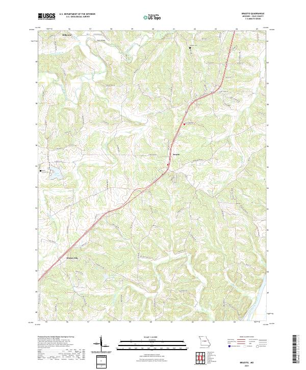
2021 Map of Brazito
USGS Topo · Published 2021About this map
Brazito and Hickory Hill anchor this rural landscape in central Missouri, where the terrain is defined by the winding course of South Moreau Creek and the broad flow of the Osage River. The map reveals a dense network of family-named roads and landmarks, including Taylor Bridge and Honey Creek Ridge, reflecting a long-standing pattern of settlement and land use. Small communities like Millbrook and the development of Dodd's Little Acres show the slow evolution of the local residential footprint.
Find a feature on this map
88 named features on this map. Tap any name to fly to it.
Don’t see what you’re looking for? This feature index may not catch every label — zoom into the map to look around manually.
Map Details
Editions of this 2021 Brazito Map
This is the sole edition of this map. No revisions or reprints were ever made.
Other maps of this area

1886 · Jefferson City
USGS Topo · 1:125,000

1888 · Tuscumbia
USGS Topo · 1:125,000

1894 · Tuscumbia
USGS Topo · 1:125,000

1894 · Jefferson City
USGS Topo · 1:125,000

1939 · Jefferson City
USGS Topo · 1:24,000

1939 · Jefferson City
USGS Topo · 1:62,500

1942 · Jefferson City
USGS Topo · 1:62,500

1947 · Jefferson City
USGS Topo · 1:250,000

1948 · Centertown
USGS Topo · 1:62,500

1948 · Meta
USGS Topo · 1:62,500