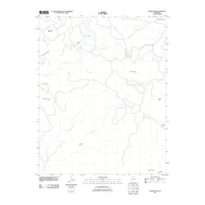
2010 Map of Brazos Peak
USGS Topo · Published 2010About this map
Brazos Peak and the surrounding high-altitude terrain define this 2010 landscape in Rio Arriba County. The map details a complex system of drainages and high plateaus, where seasonal livestock management is evidenced by the presence of Poso Cow Camp near Poso Creek and the Jensen-Thomas Cow Camp further east. The topography is dominated by dramatic vertical relief, notably at the Brazos Cliffs and the narrow geological formations of the Chavez Box and Brazos Box.
Find a feature on this map
18 named features on this map. Tap any name to fly to it.
Don’t see what you’re looking for? This feature index may not catch every label — zoom into the map to look around manually.
Map Details
Editions of this 2010 Brazos Peak Map
This is the sole edition of this map. No revisions or reprints were ever made.
Other maps of this area

1918 · Tusas
USGS Topo · 1:125,000

1954 · Aztec
USGS Topo · 1:250,000

1955 · Chama
USGS Topo · 1:62,500

1955 · Cebolla
USGS Topo · 1:62,500

1955 · Brazos Peak
USGS Topo · 1:62,500

1955 · Tierra Amarilla
USGS Topo · 1:62,500

1958 · Aztec
USGS Topo · 1:250,000

1962 · Aztec
USGS Topo · 1:250,000

1965 · Aztec
USGS Topo · 1:250,000

1981 · Chama
USGS Topo · 1:100,000