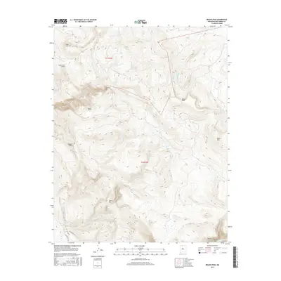
2017 Map of Brazos Peak
USGS Topo · Published 2017About this map
Brazos Peak and the dramatic Brazos Cliffs dominate this high-altitude landscape in Rio Arriba County. The terrain is defined by deep geological incisions like Chavez Box and Cañones Box, where waterways such as Chavez Cr and Cañones Cr cut through the uplifted mesa country. This 2017 survey shows a region largely defined by its natural hydrology and topographic relief, with Hidden Lake tucked away on the slopes near Grouse Mesa. While much of the area remains undeveloped wilderness, the southwest corner contains a modest network of local roads including Ticonderoga Dr, Forks Rd, and Oak Meadows Dr, marking a small point of human intersection with the otherwise formidable mountain geography near the Rio Brazos.
Find a feature on this map
22 named features on this map. Tap any name to fly to it.
Don’t see what you’re looking for? This feature index may not catch every label — zoom into the map to look around manually.
Map Details
Editions of this 2017 Brazos Peak Map
This is the sole edition of this map. No revisions or reprints were ever made.
Other maps of this area

1918 · Tusas
USGS Topo · 1:125,000

1954 · Aztec
USGS Topo · 1:250,000

1955 · Chama
USGS Topo · 1:62,500

1955 · Cebolla
USGS Topo · 1:62,500

1955 · Brazos Peak
USGS Topo · 1:62,500

1955 · Tierra Amarilla
USGS Topo · 1:62,500

1958 · Aztec
USGS Topo · 1:250,000

1962 · Aztec
USGS Topo · 1:250,000

1965 · Aztec
USGS Topo · 1:250,000

1981 · Chama
USGS Topo · 1:100,000