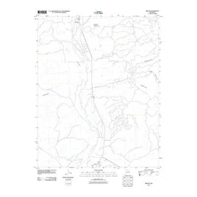
2010 Map of Brazos
USGS Topo · Published 2010About this map
Chama and the surrounding river valleys of Rio Arriba County are defined by a network of waterways and complex canyon systems. The Rio Chama flows through the center of the terrain, supported by tributaries such as Los Alamos Creek and Brazos Creek. Settlement patterns are concentrated near these water sources, including the communities of Brazos and Lower Brazos. A notable agricultural feature is the Willow Creek Mesa Ditch, which reflects the region's managed irrigation history.
Find a feature on this map
22 named features on this map. Tap any name to fly to it.
Don’t see what you’re looking for? This feature index may not catch every label — zoom into the map to look around manually.
Map Details
Editions of this 2010 Brazos Map
This is the sole edition of this map. No revisions or reprints were ever made.
Other maps of this area

1918 · Tusas
USGS Topo · 1:125,000

1954 · Aztec
USGS Topo · 1:250,000

1955 · Chama
USGS Topo · 1:62,500

1955 · Cebolla
USGS Topo · 1:62,500

1955 · Brazos Peak
USGS Topo · 1:62,500

1955 · Tierra Amarilla
USGS Topo · 1:62,500

1958 · Aztec
USGS Topo · 1:250,000

1962 · Aztec
USGS Topo · 1:250,000

1965 · Aztec
USGS Topo · 1:250,000

1981 · Chama
USGS Topo · 1:100,000