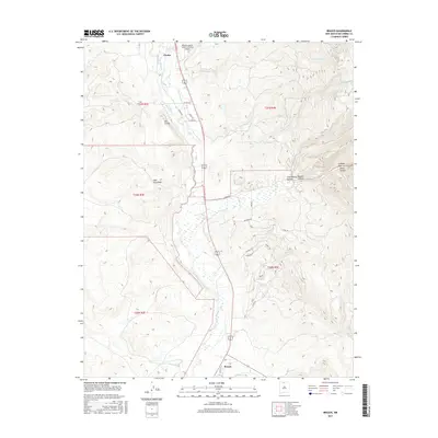
2017 Map of Brazos
USGS Topo · Published 2017About this map
Rio Chama and its tributary, Rio Chamita, dominate the valley landscape between the northern settlement of Chama and the community of Brazos to the south. This modern survey illustrates a high-altitude ranching and recreational corridor where traditional water management remains visible in features like the Willow Cr Mesa Ditch. The rugged eastern terrain is deeply incised by drainage systems such as Cañonizaria Canyon and Nestor Canyon, leading toward the dramatic narrow passage of the Cañones Box. Land use is further defined by large-scale holdings, notably the Chama Land & Cattle Company Airport situated near the northern border. Smaller residential pockets such as Dos Lomas and Casa Escondida are scattered along the valley floor, connected by a network of rural roads including Co RD 341 and Buckman Rd that navigate the varied elevations of Rio Arriba County.
Find a feature on this map
33 named features on this map. Tap any name to fly to it.
Don’t see what you’re looking for? This feature index may not catch every label — zoom into the map to look around manually.
Map Details
Editions of this 2017 Brazos Map
This is the sole edition of this map. No revisions or reprints were ever made.
Other maps of this area

1918 · Tusas
USGS Topo · 1:125,000

1954 · Aztec
USGS Topo · 1:250,000

1955 · Chama
USGS Topo · 1:62,500

1955 · Cebolla
USGS Topo · 1:62,500

1955 · Brazos Peak
USGS Topo · 1:62,500

1955 · Tierra Amarilla
USGS Topo · 1:62,500

1958 · Aztec
USGS Topo · 1:250,000

1962 · Aztec
USGS Topo · 1:250,000

1965 · Aztec
USGS Topo · 1:250,000

1981 · Chama
USGS Topo · 1:100,000