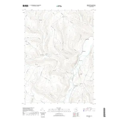
2019 Map of Breakabeen
USGS Topo · Published 2019About this map
Schoharie Creek carves a deep path through this Catskills-adjacent landscape, creating a dramatic valley where most of the region's historic settlements are clustered. The village of Breakabeen sits near the southern bend of the creek, serving as a focal point for the surrounding rural roads that climb into the higher elevations. This 2019 survey documents the enduring layout of the hills, including the prominent Towpath Mtn and Walhalla Rocks which overlook the eastern floodplains.
Find a feature on this map
74 named features on this map. Tap any name to fly to it.
Don’t see what you’re looking for? This feature index may not catch every label — zoom into the map to look around manually.
Map Details
Editions of this 2019 Breakabeen Map
This is the sole edition of this map. No revisions or reprints were ever made.
Other maps of this area

1898 · Schoharie
USGS Topo · 1:62,500

1900 · Schoharie
USGS Topo · 1:62,500

1900 · Schoharie
USGS Topo · 1:31,680

1901 · Gilboa
USGS Topo · 1:62,500

1903 · Gilboa
USGS Topo · 1:62,500

1904 · Richmondville
USGS Topo · 1:62,500

1904 · Hobart
USGS Topo · 1:62,500

1943 · Cobleskill
USGS Topo · 1:24,000

1943 · Breakabeen
USGS Topo · 1:24,000
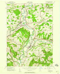
1943 · Schoharie
USGS Topo · 1:24,000