2022 Map of Breckenridge
USGS Topo · Published 2022About this map
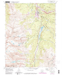
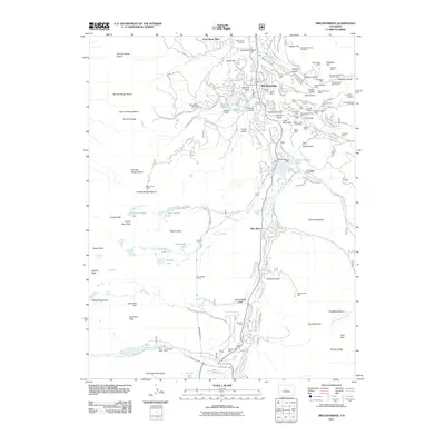
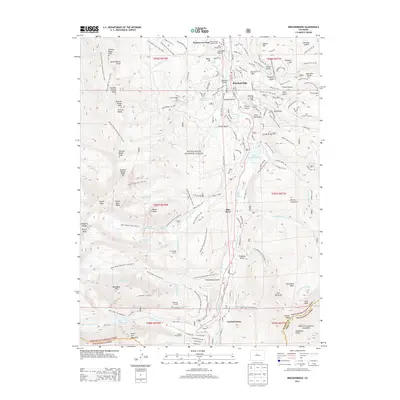
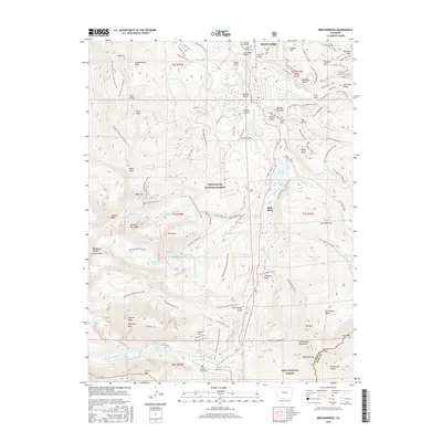
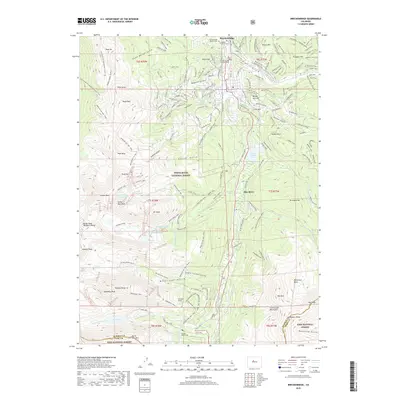
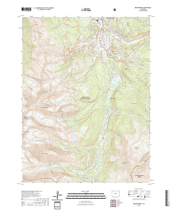
Breckenridge serves as the focal point of this high-altitude landscape, where the town's expansion meets the sprawling boundaries of the White River National Forest. The geography is defined by the steep ascents of the Tenmile Range and the Mosquito Range, punctuated by peaks such as Quandary Peak and Atlantic Peak. A complex network of drainage and water management is visible through the Mccullough Tunnel and Hoosier Pass Tunnel, which move water through the Continental Divide. Local history is anchored by landmarks like the Breckenridge Masonic Cem and the Summit County Justice Center, while the outdoor recreation economy is mapped through the extensive Breckenridge Ski Area and the Continental Divide National Scenic Trl. The presence of Goose Pasture Tarn and the headwaters of the Blue River illustrate the vital alpine watershed that sustains the region.
Find a feature on this map
101 named features on this map. Tap any name to fly to it.
Don’t see what you’re looking for? This feature index may not catch every label — zoom into the map to look around manually.
Map Details
Editions of this 2022 Breckenridge Map
This is the sole edition of this map. No revisions or reprints were ever made.
Historical Maps of Breckenridge Through Time
6 maps found