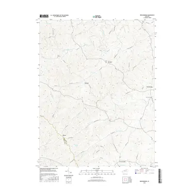
2016 Map of Breckinridge
USGS Topo · Published 2016About this map
Renaker and Rutland sit amidst a complex network of stream valleys in this northern Kentucky landscape. The topography is defined by the branching tributaries of Raven Creek, including the Middle Fork Raven Creek and Pigeon Br, which have carved deep drainages into the plateau. This rural area is dotted with small family and community burial sites such as Beard Cem and Raven Creek Cem, providing valuable touchstones for genealogical research.
Find a feature on this map
63 named features on this map. Tap any name to fly to it.
Don’t see what you’re looking for? This feature index may not catch every label — zoom into the map to look around manually.
Map Details
Editions of this 2016 Breckinridge Map
This is the sole edition of this map. No revisions or reprints were ever made.
Other maps of this area

1929 · Cynthiana
USGS Topo · 1:48,000

1930 · Falmouth
USGS Topo · 1:48,000

1934 · Cynthiana
USGS Topo · 1:62,500

1936 · Falmouth
USGS Topo · 1:62,500

1939 · Sadieville
USGS Topo · 1:62,500

1950 · Mason
USGS Topo · 1:24,000

1953 · Sadieville
USGS Topo · 1:24,000

1953 · Berry
USGS Topo · 1:24,000

1953 · Breckinridge
USGS Topo · 1:24,000

1953 · Kelat
USGS Topo · 1:24,000