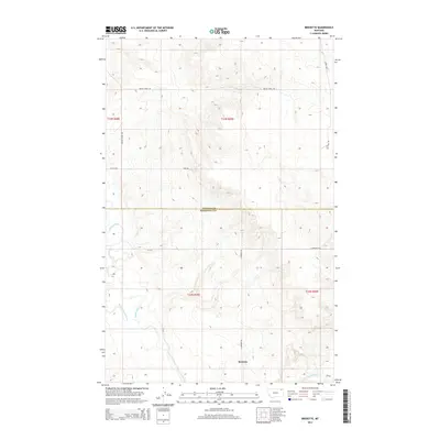
2014 Map of Bredette
USGS Topo · Published 2014About this map
Bredette sits as a quiet focal point in this 2014 landscape, positioned near the junction of 3 Corners Rd and several rural tracks. The terrain is defined by the winding course of the Poplar River and the W Fork Poplar River, which navigate the elevation changes of the Missouri Plateau. This digital-era survey highlights the sparse, systematic organization of the High Plains, where long-established routes like Wagon Wheel Rd, School Rd, and Poplar River Rd follow section lines across the Montana prairie. Along the southern boundary, Give-Out-Morgan Cr flows through the breaks, illustrating the drainage patterns that have historically dictated land use and travel in the region. The map also delineates the jurisdictional transition between Daniels Co and Roosevelt Co, capturing the modern administrative boundaries superimposed on a traditional agricultural and ranching landscape.
Find a feature on this map
17 named features on this map. Tap any name to fly to it.
Don’t see what you’re looking for? This feature index may not catch every label — zoom into the map to look around manually.
Map Details
Editions of this 2014 Bredette Map
This is the sole edition of this map. No revisions or reprints were ever made.
Other maps of this area

1910 · Cuskers
USGS Topo · 1:62,500

1912 · Hay Creek
USGS Topo · 1:62,500

1915 · Cuskers
USGS Topo · 1:62,500

1954 · Wolf Point
USGS Topo · 1:250,000

1958 · Wolf Point
USGS Topo · 1:250,000

1973 · Bredette
USGS Topo · 1:24,000

1973 · Line Coulee
USGS Topo · 1:24,000

1973 · Pleasant Prairie NW
USGS Topo · 1:24,000

1973 · Nielsen Coulee
USGS Topo · 1:24,000

1973 · Pleasant Prairie SW
USGS Topo · 1:24,000