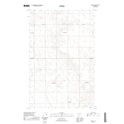
2020 Map of Bredette
USGS Topo · Published 2020About this map
Bredette serves as the focal point of this rural northeastern Montana landscape, situated near the boundary where Daniels Co and Roosevelt Co meet. The terrain is defined by the winding course of the W Fork Poplar River in the west and Give Out Morgan Cr in the southeast. This contemporary survey illustrates the persistent grid of local roads and Section Line paths that structure the ranching and agricultural life of the High Plains. Named thoroughfares like Wagon Wheel Rd, Tong Rd, and Gaustad Rd reveal a network of family and descriptive landmarks that connect remote homesteads across the rolling breaks. The map provides a clear view of the township and range divisions, including t33n r49e, which organize the vast open spaces between the river forks.
Find a feature on this map
18 named features on this map. Tap any name to fly to it.
Don’t see what you’re looking for? This feature index may not catch every label — zoom into the map to look around manually.
Map Details
Editions of this 2020 Bredette Map
This is the sole edition of this map. No revisions or reprints were ever made.
Other maps of this area

1910 · Cuskers
USGS Topo · 1:62,500

1912 · Hay Creek
USGS Topo · 1:62,500

1915 · Cuskers
USGS Topo · 1:62,500

1954 · Wolf Point
USGS Topo · 1:250,000

1958 · Wolf Point
USGS Topo · 1:250,000

1973 · Bredette
USGS Topo · 1:24,000

1973 · Line Coulee
USGS Topo · 1:24,000

1973 · Pleasant Prairie NW
USGS Topo · 1:24,000

1973 · Nielsen Coulee
USGS Topo · 1:24,000

1973 · Pleasant Prairie SW
USGS Topo · 1:24,000