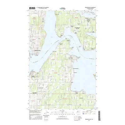
2017 Map of Bremerton East
USGS Topo · Published 2017About this map
Bainbridge Island and the eastern shores of the Great Peninsula are separated by the complex waterways of Puget Sound and Rich Passage. The maritime character of the region is evident in the dense network of points and harbors, including Eagle Harbor and Blakely Harbor, which historically supported timber and industrial activities at places like Creosote and Port Blakely. On the mainland, Bremerton and Port Orchard sit across from one another, linked by the Manette Bridge and the Port Washington Narrows. Inland, significant local landmarks include the Minidoka National Historic Site and several burial grounds such as the Veterans Home Cem in Retsil. This modern survey details the transition from established naval and industrial centers to the residential settlements of Annapolis, Colby, and Southworth.
Find a feature on this map
62 named features on this map. Tap any name to fly to it.
Don’t see what you’re looking for? This feature index may not catch every label — zoom into the map to look around manually.
Map Details
Editions of this 2017 Bremerton East Map
This is the sole edition of this map. No revisions or reprints were ever made.
Other maps of this area

1894 · Seattle
USGS Topo · 1:62,500

1895 · Snohomish
USGS Topo · 1:125,000

1897 · Tacoma
USGS Topo · 1:125,000

1897 · Seattle
USGS Topo · 1:125,000

1900 · Tacoma
USGS Topo · 1:125,000

1908 · Seattle
USGS Topo · 1:62,500

1909 · Seattle Special
USGS Topo · 1:62,500

1937 · Port Orchard
USGS Topo · 1:62,500

1942 · Gig Harbor
USGS Topo · 1:62,500

1943 · Gig Harbor
USGS Topo · 1:62,500