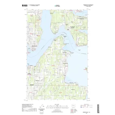
2020 Map of Bremerton East
USGS Topo · Published 2020About this map
Bainbridge Island and the intricate coastline of the Great Peninsula define this maritime landscape, where the waters of Rich Passage and Port Orchard connect various waterfront communities. On the southern shore of Eagle Harbor, the map documents the Minidoka National Historic Site at Eagledale, a location of significant historical weight. The industrial and maritime legacy of the region is evident in settlements like Creosote and Port Blakely, once major hubs of timber and milling activity.
Find a feature on this map
62 named features on this map. Tap any name to fly to it.
Don’t see what you’re looking for? This feature index may not catch every label — zoom into the map to look around manually.
Map Details
Editions of this 2020 Bremerton East Map
This is the sole edition of this map. No revisions or reprints were ever made.
Other maps of this area

1894 · Seattle
USGS Topo · 1:62,500

1895 · Snohomish
USGS Topo · 1:125,000

1897 · Tacoma
USGS Topo · 1:125,000

1897 · Seattle
USGS Topo · 1:125,000

1900 · Tacoma
USGS Topo · 1:125,000

1908 · Seattle
USGS Topo · 1:62,500

1909 · Seattle Special
USGS Topo · 1:62,500

1937 · Port Orchard
USGS Topo · 1:62,500

1942 · Gig Harbor
USGS Topo · 1:62,500

1943 · Gig Harbor
USGS Topo · 1:62,500