Loading...
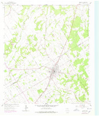
Loading map...1962 Map of Bremond
USGS Topo · Published 1978About this map
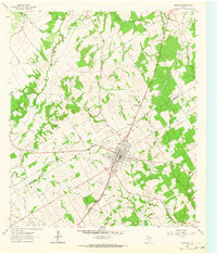
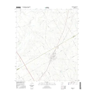
Bremond stands as the primary hub of this Central Texas landscape, situated at a significant junction where the Southern Pacific line meets a network of local roads. The town's layout is well-defined, featuring an Athletic Field and several religious landmarks including St Mary Ch and the adjacent St Mary Cem. The surrounding rural territory in Robertson and Falls Counties is marked by a complex drainage system feeding into the Brazos River, which snakes along the western edge of the quadrangle.
Find a feature on this map
32 named features on this map. Tap any name to fly to it.
Don’t see what you’re looking for? This feature index may not catch every label — zoom into the map to look around manually.
Map Details
Date Portrayed1962
Date Published1978
PublisherU.S. Geological Survey
Map TypeTopographic
Scale1:24,000
Physical Dimensions23 x 27 inches
Editions of this 1962 Bremond Map
2 editions found
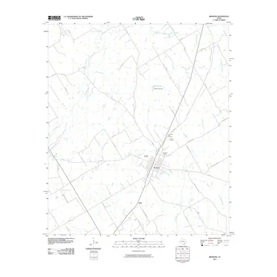
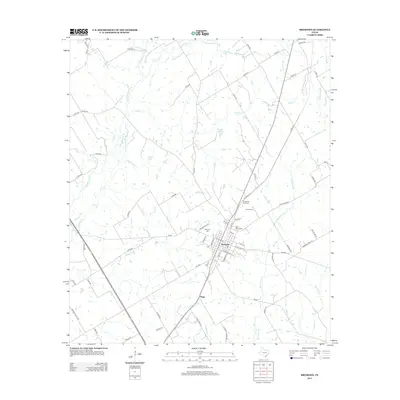
Historical Maps of Bremond Through Time
6 maps found
Featured Locations
Source Details
SourceU.S. Geological Survey
CopyrightPublic Domain