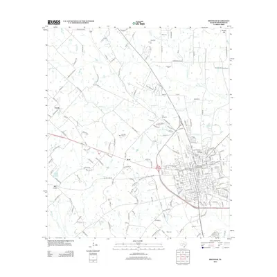
2013 Map of Brenham
USGS Topo · Published 2013About this map
Zionville and Berlin anchor the rural landscape west of the regional hub, where family heritage is etched into the terrain through numerous burial grounds like Affleck Cem and Meyer Cem. In town, the East Brenham Historic District preserves the architectural character of the early twentieth century, while the presence of both the Santa Fe Railway Company Freight Depot and the Southern Pacific Railroad Freight Depot speaks to the area's significance as a rail crossroads for Washington County commerce.
Find a feature on this map
212 named features on this map. Tap any name to fly to it.
Don’t see what you’re looking for? This feature index may not catch every label — zoom into the map to look around manually.
Map Details
Editions of this 2013 Brenham Map
This is the sole edition of this map. No revisions or reprints were ever made.
Other maps of this area

1914 · Gay Hill
USGS Topo · 1:62,500

1930 · Brenham
USGS Topo · 1:62,500

1954 · Austin
USGS Topo · 1:250,000

1956 · Brenham
USGS Topo · 1:62,500

1956 · Somerville
USGS Topo · 1:62,500

1958 · Greenvine
USGS Topo · 1:24,000

1958 · Burton
USGS Topo · 1:24,000

1959 · Gay Hill
USGS Topo · 1:24,000

1959 · Somerville
USGS Topo · 1:24,000

1959 · Independence
USGS Topo · 1:24,000