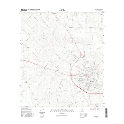
2016 Map of Brenham
USGS Topo · Published 2016About this map
Brenham serves as the central hub of this Washington County survey, where the grounds of Blinn Coll and the historic North End Park anchor the urban landscape. The settlement patterns reflect a deep-rooted German-Texan heritage, evident in the surrounding communities of Zionville, Berlin, and Prairie Hill. The region's burial grounds provide a significant genealogical record, ranging from the large Prairie Lea Cem and Calvary Cem within the city limits to the poignant Yellow Fever Cem to the north.
Find a feature on this map
182 named features on this map. Tap any name to fly to it.
Don’t see what you’re looking for? This feature index may not catch every label — zoom into the map to look around manually.
Map Details
Editions of this 2016 Brenham Map
This is the sole edition of this map. No revisions or reprints were ever made.
Other maps of this area

1914 · Gay Hill
USGS Topo · 1:62,500

1930 · Brenham
USGS Topo · 1:62,500

1954 · Austin
USGS Topo · 1:250,000

1956 · Brenham
USGS Topo · 1:62,500

1956 · Somerville
USGS Topo · 1:62,500

1958 · Greenvine
USGS Topo · 1:24,000

1958 · Burton
USGS Topo · 1:24,000

1959 · Gay Hill
USGS Topo · 1:24,000

1959 · Somerville
USGS Topo · 1:24,000

1959 · Independence
USGS Topo · 1:24,000