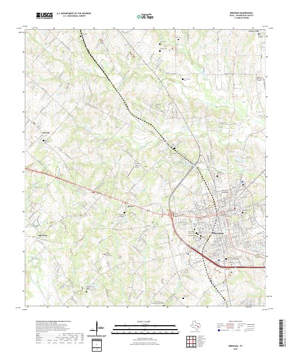
2022 Map of Brenham
USGS Topo · Published 2022About this map
Brenham serves as the focal point of this Washington County landscape, where the historic core is anchored by the Washington County Courthouse and the campus of Blinn College. The surrounding countryside reveals a dense network of German-Texan heritage, evidenced by the numerous Lutheran congregations and family burial grounds scattered across the terrain. From the Zion Lutheran Cem in Zionville to the Salem Evangelical Lutheran Church Cem further south, these sites trace the nineteenth-century settlement patterns that define the region.
Find a feature on this map
186 named features on this map. Tap any name to fly to it.
Don’t see what you’re looking for? This feature index may not catch every label — zoom into the map to look around manually.
Map Details
Editions of this 2022 Brenham Map
This is the sole edition of this map. No revisions or reprints were ever made.
Other maps of this area
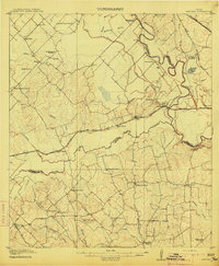
1914 · Gay Hill
USGS Topo · 1:62,500
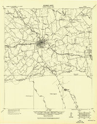
1930 · Brenham
USGS Topo · 1:62,500

1954 · Austin
USGS Topo · 1:250,000
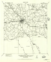
1956 · Brenham
USGS Topo · 1:62,500
1956 · Somerville
USGS Topo · 1:62,500
1958 · Greenvine
USGS Topo · 1:24,000
1958 · Burton
USGS Topo · 1:24,000
1959 · Gay Hill
USGS Topo · 1:24,000
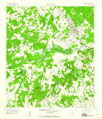
1959 · Somerville
USGS Topo · 1:24,000
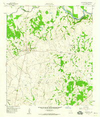
1959 · Independence
USGS Topo · 1:24,000