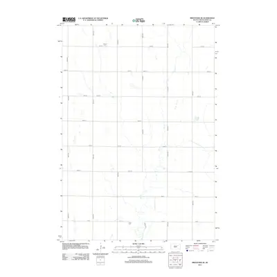
2012 Map of Brentford SE
USGS Topo · Published 2012About this map
Dry Run meanders south through this section of Spink County, defining the drainage patterns of an agricultural landscape structured by a precise mile-square grid. The terrain is characterized by numerous small depressions and seasonal water bodies typical of the prairie pothole region, where local drainage collects between the established roads. Family history and early settlement markers are anchored by Baldwin Cem in the northern portion of the quadrangle and Clifton Cem to the south. The road network, including north-south corridors like 394th Ave and 396th Ave, provides a clear view of the rural infrastructure in the early twenty-first century, reflecting a steady continuity in the land use and property divisions of Tetonka Township.
Find a feature on this map
17 named features on this map. Tap any name to fly to it.
Don’t see what you’re looking for? This feature index may not catch every label — zoom into the map to look around manually.
Map Details
Editions of this 2012 Brentford SE Map
This is the sole edition of this map. No revisions or reprints were ever made.
Other maps of this area

1894 · Conde
USGS Topo · 1:62,500

1895 · Byron
USGS Topo · 1:125,000

1895 · Aberdeen
USGS Topo · 1:125,000

1953 · Brentford
USGS Topo · 1:24,000

1953 · Frankfort
USGS Topo · 1:24,000

1953 · Gallup
USGS Topo · 1:24,000

1953 · Ashton
USGS Topo · 1:24,000

1953 · Huron
USGS Topo · 1:250,000

1954 · Mellette
USGS Topo · 1:24,000

1954 · Aberdeen
USGS Topo · 1:250,000