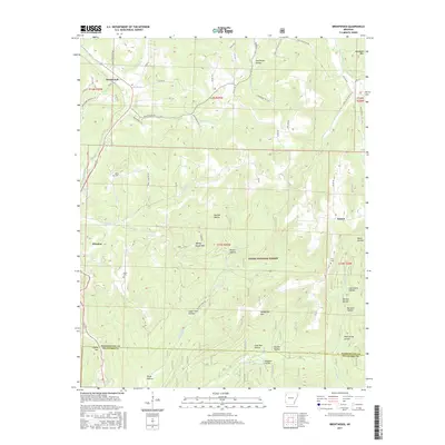
2017 Map of Brentwood
USGS Topo · Published 2017About this map
W Fork White River and Frog Bayou headwaters define this portion of the Boston Mountains within the Ozark National Forest. The map documents the high-elevation terrain of southern Washington County, centered on the historic mountain communities of Winslow and Brentwood. Significant elevation changes are marked by numerous named summits like Mount Gaylor and Weedy Rough Mtn, along with deep hollows such as Goat Den Hollow and Paschal Hollow. The landscape is a network of small watercourses, including Sinclair Cr and Jones Fork, which carve through the plateau. Local history is preserved in the locations of Parks Cem, Koyle Cem, and Terry Cem, which serve as markers for early settlement patterns in this upland region. The boundary between Washington and Crawford counties runs through the southern reaches of the map, illustrating how the topography influenced political divisions and early travel routes like Whitehouse Rd.
Find a feature on this map
74 named features on this map. Tap any name to fly to it.
Don’t see what you’re looking for? This feature index may not catch every label — zoom into the map to look around manually.
Map Details
Editions of this 2017 Brentwood Map
This is the sole edition of this map. No revisions or reprints were ever made.
Other maps of this area

1879 · Cravens
USGS Topo · 1:62,500

1887 · Watalula
USGS Topo · 1:62,500

1898 · Winslow #4
USGS Topo · 1:62,500

1898 · Winslow
USGS Topo · 1:125,000

1901 · Winslow
USGS Topo · 1:125,000

1939 · Watalula
USGS Topo · 1:62,500

1943 · St. Paul
USGS Topo · 1:62,500

1946 · St. Paul
USGS Topo · 1:62,500

1946 · Fort Smith
USGS Topo · 1:250,000

1956 · Russellville
USGS Topo · 1:250,000