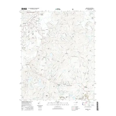
2016 Map of Brevard
USGS Topo · Published 2016About this map
The French Broad River winds through this mountain landscape, anchoring a region defined by its complex topography and the historic growth of Brevard. This survey reveals the transition from the concentrated street grid of North Brevard to the outlying residential developments of Sherwood Forest and Sherwood Terrace to the south. The area’s genealogical value is high, with numerous family and community burial grounds documented, including the Evergreen Gillespie Cem, Shady Grove Cem, and Wilson Cem.
Find a feature on this map
265 named features on this map. Tap any name to fly to it.
Don’t see what you’re looking for? This feature index may not catch every label — zoom into the map to look around manually.
Map Details
Editions of this 2016 Brevard Map
This is the sole edition of this map. No revisions or reprints were ever made.
Other maps of this area

1905 · Pisgah
USGS Topo · 1:125,000

1906 · Pisgah
USGS Topo · 1:125,000

1935 · Brevard
USGS Topo · 1:24,000

1935 · Eastatoe Gap
USGS Topo · 1:24,000

1935 · Standingstone Mtn.
USGS Topo · 1:24,000

1935 · Horse Shoe
USGS Topo · 1:24,000

1935 · Rosman
USGS Topo · 1:24,000

1935 · Table Rock
USGS Topo · 1:24,000

1935 · Shining Rock
USGS Topo · 1:24,000

1935 · Pisgah Forest
USGS Topo · 1:24,000