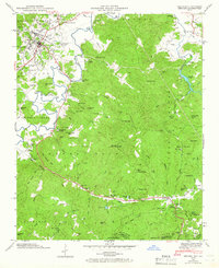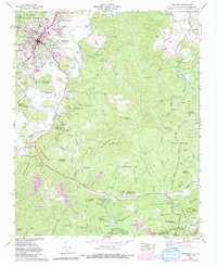
2022 Map of Brevard
USGS Topo · Published 2022About this map
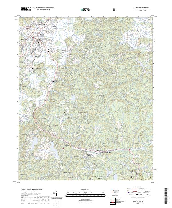
Brevard and its surrounding mountain communities are captured here in a transition between civic centers and the wild corridors of the Pisgah National Forest. The landscape is anchored by the Transylvania County Courthouse and the campus of Brevard College, where the French Broad River begins its course through the valley. This 2022 survey details the residential growth extending into North Brevard and Ducktown, while maintaining the historical footprint of numerous family burial grounds like King Old Town Cem and Wilson Cem.
Find a feature on this map
100 named features on this map. Tap any name to fly to it.
Don’t see what you’re looking for? This feature index may not catch every label — zoom into the map to look around manually.
Map Details
Editions of this 2022 Brevard Map
This is the sole edition of this map. No revisions or reprints were ever made.
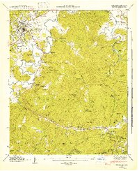
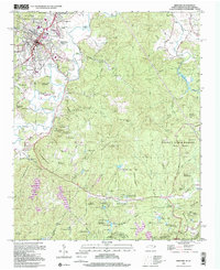
Historical Maps of Valley View Vistas Through Time
6 maps found