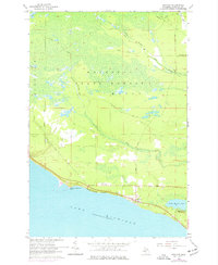
1964 Map of Brevort
USGS Topo · Published 1977About this map
The northern shoreline of Lake Michigan dominates this mid-century survey of the Mackinac coast, anchored by the settlement of Brevort. The landscape is defined by the dense wetlands and timber of the Mackinac State Forest, crisscrossed by a network of historic routes including the Caffey Trail and Dells Mills Trail. Along the coast, the Brevort Airport and Highbanks reflect the area's mid-century development, while the Brevort Cem provides a focal point for genealogical research. Further east, the map details the recreation-heavy environment of Little Brevoort Lake, including the Little Brevoort Lake Campground. Significant water features like the Cut River and the Carp River provide a look at the natural drainage patterns that shaped early logging and transport in this part of Moran township.
Find a feature on this map
28 named features on this map. Tap any name to fly to it.
Don’t see what you’re looking for? This feature index may not catch every label — zoom into the map to look around manually.
Map Details
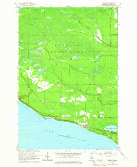
Editions of this 1964 Brevort Map
2 editions found
Other maps of this area

1931 · Epoufette SE
USGS Topo · 1:31,680

1931 · Epoufette NE
USGS Topo · 1:31,680

1931 · Epoufette NW
USGS Topo · 1:31,680

1931 · Epoufette SW
USGS Topo · 1:31,680

1948 · Moran NW
USGS Topo · 1:31,680

1954 · Sault Sainte Marie
USGS Topo · 1:250,000

1955 · Cheboygan
USGS Topo · 1:250,000

1956 · Sault Sainte Marie
USGS Topo · 1:250,000

1957 · Sault Sainte Marie
USGS Topo · 1:250,000

1958 · Cheboygan
USGS Topo · 1:250,000