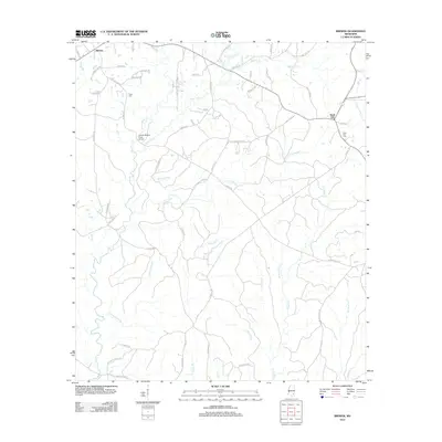
2012 Map of Brewer
USGS Topo · Published 2012About this map
Brewer and Sand Hill anchor this Greene County landscape, defined by a dense network of creek branches and rural routes in the early 21st century. The map reveals the intricate drainage patterns of the region, where Sand Hill Cr and Piney Woods Cr converge near the Gaines Brewer Road Bridge. Significant for genealogists, the survey identifies several burial sites including Frisco Cem and Sand Hill Cem, often situated near family-named roads like Meadows Rd and Otho Sellers Rd. The southern portion of the quadrangle is heavily marked by seasonal waterways such as Yellow Jacket Br, Fivemile Cr, and Lower Flat Br, illustrating the riparian character of this Mississippi territory.
Find a feature on this map
64 named features on this map. Tap any name to fly to it.
Don’t see what you’re looking for? This feature index may not catch every label — zoom into the map to look around manually.
Map Details
Editions of this 2012 Brewer Map
This is the sole edition of this map. No revisions or reprints were ever made.
Other maps of this area

1947 · Beaumont
USGS Topo · 1:62,500

1949 · Beaumont
USGS Topo · 1:62,500

1953 · Hattiesburg
USGS Topo · 1:250,000

1958 · Hattiesburg
USGS Topo · 1:250,000

1963 · Brewer
USGS Topo · 1:24,000

1964 · Rhodes
USGS Topo · 1:24,000

1964 · Richton
USGS Topo · 1:24,000

1964 · Mulberry
USGS Topo · 1:24,000

1964 · Avera
USGS Topo · 1:24,000

1964 · Piave
USGS Topo · 1:24,000