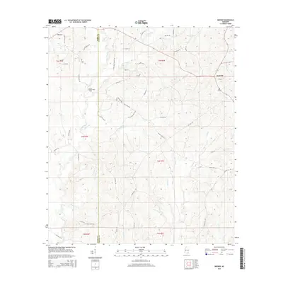
2015 Map of Brewer
USGS Topo · Published 2015About this map
The boundary line between Perry and Greene Counties divides this landscape of winding creek bottoms and timbered ridges. Small communities like Brewer and Sand Hill anchor the high ground, connected by a network of rural routes such as Otho Sellers Rd and Watson Rd. The area is defined by its complex drainage systems, where Piney Woods Creek and Sand Hill Creek flow south toward the Gaines Brewer Road Bridge. Genealogists will find notable burial sites at Frisco Cemetery and Sand Hill Cemetery, while the southern reaches are marked by many smaller watercourses including Yellow Jacket Branch and Lower Flat Branch. This map documents a quiet rural corner of Mississippi where the land use remains tied to the local hydrology and timbered terrain.
Find a feature on this map
64 named features on this map. Tap any name to fly to it.
Don’t see what you’re looking for? This feature index may not catch every label — zoom into the map to look around manually.
Map Details
Editions of this 2015 Brewer Map
This is the sole edition of this map. No revisions or reprints were ever made.
Other maps of this area

1947 · Beaumont
USGS Topo · 1:62,500

1949 · Beaumont
USGS Topo · 1:62,500

1953 · Hattiesburg
USGS Topo · 1:250,000

1958 · Hattiesburg
USGS Topo · 1:250,000

1963 · Brewer
USGS Topo · 1:24,000

1964 · Rhodes
USGS Topo · 1:24,000

1964 · Richton
USGS Topo · 1:24,000

1964 · Mulberry
USGS Topo · 1:24,000

1964 · Avera
USGS Topo · 1:24,000

1964 · Piave
USGS Topo · 1:24,000