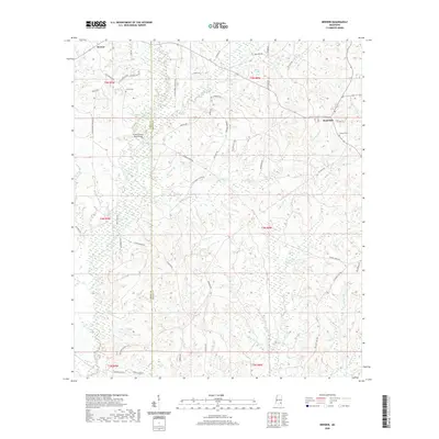
2020 Map of Brewer
USGS Topo · Published 2020About this map
Brewer and Sand Hill anchor this rural landscape in the 2020s, a region defined by a dense network of minor waterways draining through the Pine Belt. The map reveals a land structured by water, with Gaines Creek and Fivemile Cr winding through the terrain alongside numerous branches like Yellowjacket Br and Newcomb Br. Local history is preserved in the placement of the Frisco Cem near the Perry Co/Greene Co boundary and the Grafton Cem further east.
Find a feature on this map
65 named features on this map. Tap any name to fly to it.
Don’t see what you’re looking for? This feature index may not catch every label — zoom into the map to look around manually.
Map Details
Editions of this 2020 Brewer Map
This is the sole edition of this map. No revisions or reprints were ever made.
Other maps of this area

1947 · Beaumont
USGS Topo · 1:62,500

1949 · Beaumont
USGS Topo · 1:62,500

1953 · Hattiesburg
USGS Topo · 1:250,000

1958 · Hattiesburg
USGS Topo · 1:250,000

1963 · Brewer
USGS Topo · 1:24,000

1964 · Rhodes
USGS Topo · 1:24,000

1964 · Richton
USGS Topo · 1:24,000

1964 · Mulberry
USGS Topo · 1:24,000

1964 · Avera
USGS Topo · 1:24,000

1964 · Piave
USGS Topo · 1:24,000