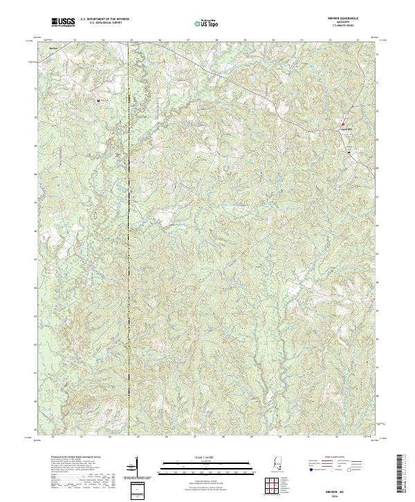
2024 Map of Brewer
USGS Topo · Published 2024About this map
Brewer and Sand Hill anchor this rural landscape along the Perry Co Greene Co line in southeastern Mississippi. The terrain is defined by a dense network of tributaries including Gaines Creek, Fivemile Creek, and Atkinson Creek, which carve through the piney woods. Numerous local roads, such as Loarn Morris Freeman Rd and Otho Sellers Rd, follow the ridgelines and provide access to family-named landmarks and historical sites. Genealogists will find the locations of Frisco Cem and Grafton Cem particularly useful for tracing early settlers. The mapping reflects a traditional Southern forest-and-creek economy where small communities emerged around local hydrology and family landholdings, visible in labels like Indian Camp Creek and Oaks Swamp Creek.
Find a feature on this map
63 named features on this map. Tap any name to fly to it.
Don’t see what you’re looking for? This feature index may not catch every label — zoom into the map to look around manually.
Map Details
Editions of this 2024 Brewer Map
This is the sole edition of this map. No revisions or reprints were ever made.
Other maps of this area

1947 · Beaumont
USGS Topo · 1:62,500

1949 · Beaumont
USGS Topo · 1:62,500

1953 · Hattiesburg
USGS Topo · 1:250,000

1958 · Hattiesburg
USGS Topo · 1:250,000

1963 · Brewer
USGS Topo · 1:24,000

1964 · Rhodes
USGS Topo · 1:24,000

1964 · Richton
USGS Topo · 1:24,000

1964 · Mulberry
USGS Topo · 1:24,000

1964 · Avera
USGS Topo · 1:24,000

1964 · Piave
USGS Topo · 1:24,000