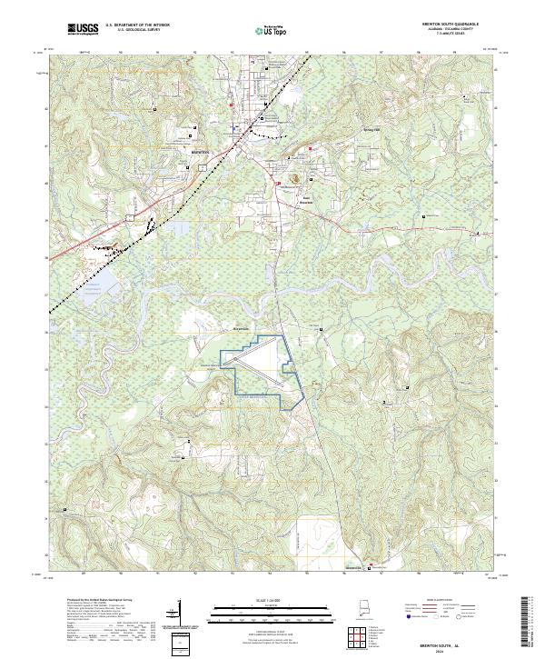
2024 Map of Brewton South
USGS Topo · Published 2024About this map
The Conecuh River and Murder Creek converge south of Brewton, anchoring a landscape defined by its waterways and the institutional footprint of the Escambia County Courthouse. This 2024 map documents the complex development of the region, from the educational grounds of Jefferson Davis Community College to the strategic layout of Nolf Brewton. The geography is dotted with several family and community landmarks, including Baptist Hill Cem and the Old Travis Cem, alongside numerous churches like First Saint Siloam Missionary Baptist Church that signal the historical centers of local social life.
Find a feature on this map
145 named features on this map. Tap any name to fly to it.
Don’t see what you’re looking for? This feature index may not catch every label — zoom into the map to look around manually.
Map Details
Editions of this 2024 Brewton South Map
This is the sole edition of this map. No revisions or reprints were ever made.
Other maps of this area

1943 · Jay
USGS Topo · 1:62,500

1948 · Munson
USGS Topo · 1:62,500

1950 · Munson
USGS Topo · 1:62,500

1953 · Andalusia
USGS Topo · 1:250,000

1957 · Andalusia
USGS Topo · 1:250,000

1957 · Pensacola
USGS Topo · 1:250,000

1959 · Pensacola
USGS Topo · 1:250,000

1959 · Brewton South
USGS Topo · 1:24,000

1960 · Pensacola
USGS Topo · 1:250,000

1960 · Brewton South
USGS Topo · 1:24,000