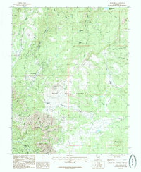
1985 Map of Brian Head
USGS Topo · Published 1986About this map
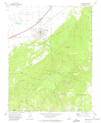
Cedar Breaks National Monument and the high-altitude terrain of the Dixie National Forest dominate this mid-1980s topographic survey. The landscape is defined by dramatic geologic formations like the Highleap and Chessmen Ridge, where the steep escarpments of the Breaks drop away from the alpine plateau. The burgeoning resort town of Brian Head is visible, situated near the headwaters of Bear Flat and Parowan Canyon.
Find a feature on this map
55 named features on this map. Tap any name to fly to it.
Don’t see what you’re looking for? This feature index may not catch every label — zoom into the map to look around manually.
Map Details
Editions of this 1985 Brian Head Map
This is the sole edition of this map. No revisions or reprints were ever made.
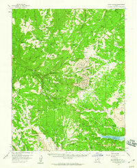
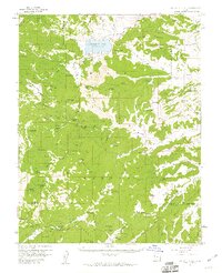
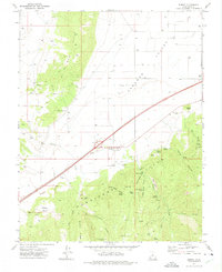
Other maps of this area

1886 · Kanab
USGS Topo · 1:250,000

1953 · Cedar City
USGS Topo · 1:250,000

1958 · Cedar City
USGS Topo · 1:250,000
1958 · Cedar Breaks
USGS Topo · 1:62,500
1958 · Panguitch Lake
USGS Topo · 1:62,500

1962 · Cedar City
USGS Topo · 1:250,000
1971 · Summit
USGS Topo · 1:24,000
1971 · Parowan
USGS Topo · 1:24,000

1971 · Red Creek Reservoir
USGS Topo · 1:24,000

1980 · Panguitch
USGS Topo · 1:100,000