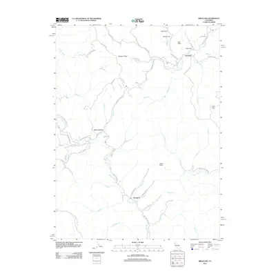
2012 Map of Briceland
USGS Topo · Published 2012About this map
Whitethorn and Briceland serve as the primary human anchors in this corner of Humboldt County, connected by the winding Briceland Thorn Rd. The landscape is dominated by the upper reaches of the Mattole River, which carves through a complex network of ridges and gulches including Telegraph Ridge and Gibson Ridge. The area's timber history and rural character are evident in the naming of remote access ways like Barnum Timber Land Rd and Old Summerville Rd.
Find a feature on this map
52 named features on this map. Tap any name to fly to it.
Don’t see what you’re looking for? This feature index may not catch every label — zoom into the map to look around manually.
Map Details
Editions of this 2012 Briceland Map
This is the sole edition of this map. No revisions or reprints were ever made.
Other maps of this area

1920 · Pt. Delagda
USGS Topo · 1:62,500

1921 · Briceland
USGS Topo · 1:62,500

1949 · Eureka
USGS Topo · 1:250,000

1949 · Point Delgada
USGS Topo · 1:62,500

1949 · Garberville
USGS Topo · 1:62,500

1950 · Piercy
USGS Topo · 1:62,500

1951 · Garberville
USGS Topo · 1:62,500

1951 · Point Delgada
USGS Topo · 1:62,500

1957 · Ukiah
USGS Topo · 1:250,000

1958 · Redding
USGS Topo · 1:250,000