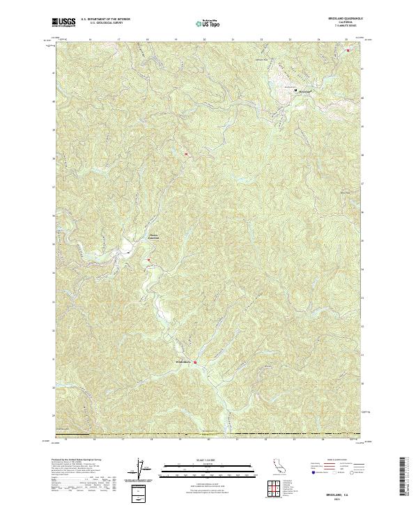
2021 Map of Briceland
USGS Topo · Published 2021About this map
The Mattole River corridor defines the western landscape of this Humboldt County region, where the primary settlements of Briceland and Whitethorn anchor the local geography. Significant topographic features like Telegraph Ridge and Gibson Ridge separate the numerous creek drainages, including China Cr and Redwood Cr, that feed into the larger river system. The presence of the Briceland Cem near the town center and the intersection at Thorn Junction provide specific points of interest for those tracking the development of these rural communities. To the south, the terrain rises toward Chamisal Mtn and the Humboldt and Mendocino county line. This mapping of the rugged coastal range illustrates a network of ranch and access roads such as Ettersburg Rd and Shelter Cove Rd that connect isolated peaks like Rose Peak to the more established valley floors.
Find a feature on this map
77 named features on this map. Tap any name to fly to it.
Don’t see what you’re looking for? This feature index may not catch every label — zoom into the map to look around manually.
Map Details
Editions of this 2021 Briceland Map
This is the sole edition of this map. No revisions or reprints were ever made.
Other maps of this area

1920 · Pt. Delagda
USGS Topo · 1:62,500

1921 · Briceland
USGS Topo · 1:62,500

1949 · Eureka
USGS Topo · 1:250,000

1949 · Point Delgada
USGS Topo · 1:62,500

1949 · Garberville
USGS Topo · 1:62,500

1950 · Piercy
USGS Topo · 1:62,500

1951 · Garberville
USGS Topo · 1:62,500

1951 · Point Delgada
USGS Topo · 1:62,500

1957 · Ukiah
USGS Topo · 1:250,000

1958 · Redding
USGS Topo · 1:250,000