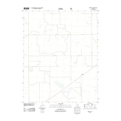
2010 Map of Brickel
USGS Topo · Published 2010About this map
Brickel is the central point of this High Plains landscape in Sherman County, where the settlement pattern is defined by a rigid grid of rural thoroughfares and winding natural drainage. The area is marked by the seasonal path of Coldwater Creek, which meanders across the northern and central sections of the quadrangle, joined in the far northeast corner by the headwaters of Frisco Creek. These watercourses stand in sharp contrast to the geometric precision of the local transit network, including Fm-807 and long straightaways like E High Lonesome Rd and County Road N. For researchers of early 21st-century Texas land use, the map illustrates the persistence of remote ranching and agricultural tracts, punctuated by landmarks such as Country Club Ln and Little Rd.
Find a feature on this map
13 named features on this map. Tap any name to fly to it.
Don’t see what you’re looking for? This feature index may not catch every label — zoom into the map to look around manually.
Map Details
Editions of this 2010 Brickel Map
This is the sole edition of this map. No revisions or reprints were ever made.
Other maps of this area

1954 · Dalhart
USGS Topo · 1:250,000

1958 · Dalhart
USGS Topo · 1:250,000

1962 · Dalhart
USGS Topo · 1:250,000

1964 · Brickel
USGS Topo · 1:24,000

1964 · Kerrick
USGS Topo · 1:24,000

1964 · Stratford 2 SE
USGS Topo · 1:24,000

1964 · Stratford 2 NE
USGS Topo · 1:24,000

1964 · Stratford
USGS Topo · 1:24,000

1964 · Stratford NE
USGS Topo · 1:24,000

1965 · Lautz
USGS Topo · 1:24,000