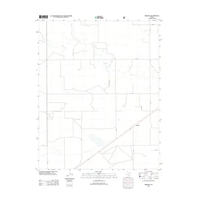
2012 Map of Brickel
USGS Topo · Published 2012About this map
Brickel serves as a central point in this part of Sherman County, where the landscape is defined by the expansive grid of the Texas Panhandle. The map reveals a highly structured agricultural and ranching environment, partitioned by a network of rural routes such as E High Lonesome Rd and Little Rd. Hydrological features provide rare breaks in the terrain, with Coldwater Cr and Frisco Cr cutting through the northern sections of the survey. The presence of Fm-807 and various county roads, including Att Ln, indicates the established transport infrastructure supporting local operations in the early 21st century. This survey documents the intersection of modern highway connectivity and the traditional drainage patterns that have shaped the region's land use.
Find a feature on this map
14 named features on this map. Tap any name to fly to it.
Don’t see what you’re looking for? This feature index may not catch every label — zoom into the map to look around manually.
Map Details
Editions of this 2012 Brickel Map
This is the sole edition of this map. No revisions or reprints were ever made.
Other maps of this area

1954 · Dalhart
USGS Topo · 1:250,000

1958 · Dalhart
USGS Topo · 1:250,000

1962 · Dalhart
USGS Topo · 1:250,000

1964 · Brickel
USGS Topo · 1:24,000

1964 · Kerrick
USGS Topo · 1:24,000

1964 · Stratford 2 SE
USGS Topo · 1:24,000

1964 · Stratford 2 NE
USGS Topo · 1:24,000

1964 · Stratford
USGS Topo · 1:24,000

1964 · Stratford NE
USGS Topo · 1:24,000

1965 · Lautz
USGS Topo · 1:24,000