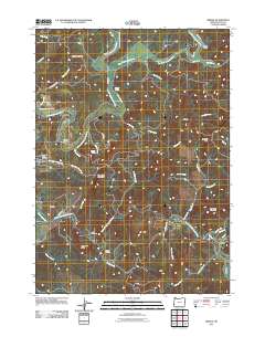
2011 Map of Bridge
USGS Topo · Published 2011About this map
The Middle Fork Coquille River and North Fork Coquille River converge in this western Oregon landscape, defining a region where river valleys meet prominent coastal range terrain. Near the western edge, Myrtle Point is anchored by the Old Myrtle Point Cemetery, while the small settlement of Gravelford sits further north along the East Fork Coquille River. The map reveals a network of winding valley roads like Myrtle Point-Sitkum Rd and Weekly Creek Rd that follow the natural drainage patterns of the coastal hills.
Find a feature on this map
58 named features on this map. Tap any name to fly to it.
Don’t see what you’re looking for? This feature index may not catch every label — zoom into the map to look around manually.
Map Details
Editions of this 2011 Bridge Map
This is the sole edition of this map. No revisions or reprints were ever made.
Other maps of this area

1896 · Coos Bay
USGS Topo · 1:125,000

1898 · Coos Bay
USGS Topo · 1:125,000

1899 · Port Orford
USGS Topo · 1:125,000

1900 · Coos Bay
USGS Topo · 1:125,000

1903 · Port Orford
USGS Topo · 1:125,000

1928 · Sitkum
USGS Topo · 1:125,000

1942 · Coquille
USGS Topo · 1:62,500

1945 · Coquille
USGS Topo · 1:62,500

1954 · Coos Bay
USGS Topo · 1:250,000

1954 · Bone Mountain
USGS Topo · 1:62,500