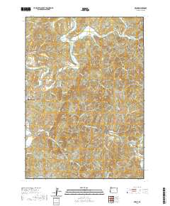
2020 Map of Bridge
USGS Topo · Published 2020About this map
North Fork Coquille River and its various tributaries define the drainage patterns of this Coos County landscape. The area is characterized by several small valleys and distinct summits such as Sugarloaf Mtn, Anderson Mtn, and Schneider Butte. Small settlements and crossings are dispersed throughout, linked by rural corridors like Sitkum Ln and Weekly Creek Rd.
Find a feature on this map
73 named features on this map. Tap any name to fly to it.
Don’t see what you’re looking for? This feature index may not catch every label — zoom into the map to look around manually.
Map Details
Editions of this 2020 Bridge Map
This is the sole edition of this map. No revisions or reprints were ever made.
Other maps of this area

1896 · Coos Bay
USGS Topo · 1:125,000

1898 · Coos Bay
USGS Topo · 1:125,000

1899 · Port Orford
USGS Topo · 1:125,000

1900 · Coos Bay
USGS Topo · 1:125,000

1903 · Port Orford
USGS Topo · 1:125,000

1928 · Sitkum
USGS Topo · 1:125,000

1942 · Coquille
USGS Topo · 1:62,500

1945 · Coquille
USGS Topo · 1:62,500

1954 · Coos Bay
USGS Topo · 1:250,000

1954 · Bone Mountain
USGS Topo · 1:62,500