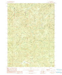
2023 Map of Bridge
USGS Topo · Published 2023About this map
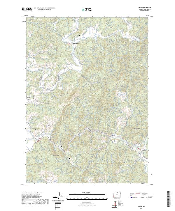
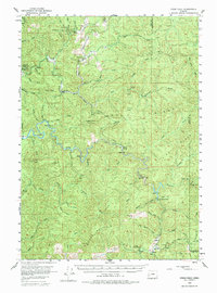
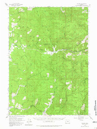
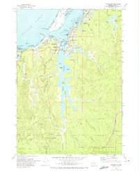
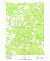
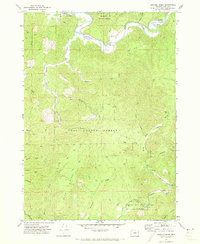
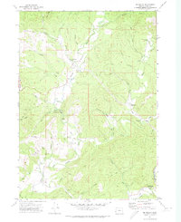
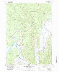
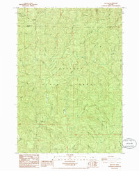
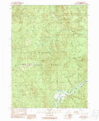
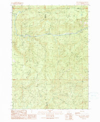
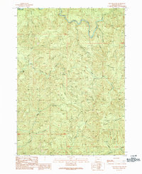
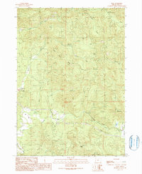
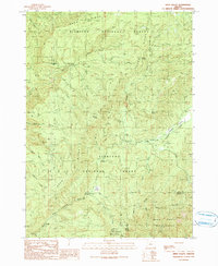
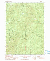
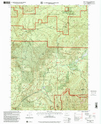
The confluence of the North Fork Coquille River and the East Fork Coquille River anchors the northern reaches of this Coos County landscape, where the small settlement of Gravelvford sits along the winding valley floor. To the south, the village of Bridge and the outskirts of Myrtle Point serve as centers for the surrounding timber and ranching country. The terrain is defined by prominent elevations such as Sugarloaf Mtn, Schneider Butte, and Anderson Mtn, while a complex network of creeks like Weekly Creek and McMullen Creek feeds the larger river system. For family historians, the sheet is exceptionally detailed with burial sites, including the Gravelvford Cem, Garrett Cem, Brack Cem, and Brewer Cem. These locations, many situated on hillsides overlooking the water, provide a clear record of the area's early homesteading patterns and the enduring connections between families and the land.
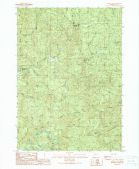
Find a feature on this map
67 named features on this map. Tap any name to fly to it.
Don’t see what you’re looking for? This feature index may not catch every label — zoom into the map to look around manually.
Map Details
Editions of this 2023 Bridge Map
This is the sole edition of this map. No revisions or reprints were ever made.
Historical Maps of Myrtle Point Through Time
68 maps found

1928 Sitkum
Coos County, OR
1942 Empire
Coos County, OR
1944 Empire
Coos County, OR
1954 Bone Mountain
Coos County, OR
1955 Ivers Peak
Coos County, OR
1955 Sitkum
Coos County, OR
1970 Bullards
Coos County, OR
1970 Cape Arago
Coos County, OR
1970 Charleston
Coos County, OR
1970 Empire
Coos County, OR
1971 Allegany
Coos County, OR
1971 Bill Peak
Coos County, OR
1971 Bridge
Coos County, OR
1971 Daniels Creek
Coos County, OR
1971 Mc Kinley
Coos County, OR
1971 Riverton
Coos County, OR
1985 Elk Peak
Coos County, OR
1985 Trail Butte
Coos County, OR
1986 China Flat
Coos County, OR
1986 Dement Creek
Coos County, OR
1989 Illahe
Coos County, OR
1990 Bone Mountain
Coos County, OR
1990 Coos Mountain
Coos County, OR
1990 Dora
Coos County, OR
1990 Eden Valley
Coos County, OR
1990 Golden Falls
Coos County, OR
1990 Ivers Peak
Coos County, OR
1990 Kenyon Mountain
Coos County, OR
1990 Mount Bolivar
Coos County, OR
1990 Rasler Creek
Coos County, OR
1990 Remote
Coos County, OR
1990 Sitkum
Coos County, OR
1990 Tioga
Coos County, OR
1996 China Flat
Coos County, OR
1996 Dement Creek
Coos County, OR
1998 Bone Mountain
Coos County, OR
1998 Eden Valley
Coos County, OR
1998 Illahe
Coos County, OR
1998 Mount Bolivar
Coos County, OR
1998 Rasler Creek
Coos County, OR
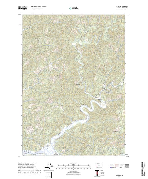
2023 Allegany
Coos County, OR
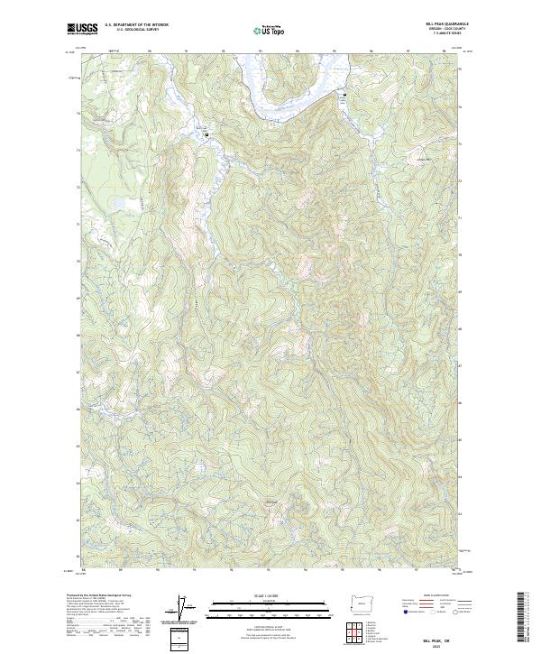
2023 Bill Peak
Coos County, OR
2023 Bridge
Coos County, OR
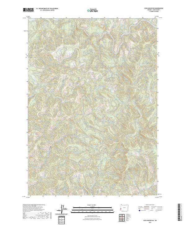
2023 Coos Mountain
Coos County, OR
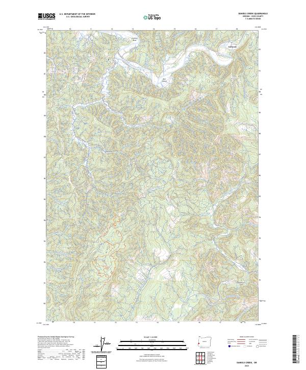
2023 Daniels Creek
Coos County, OR
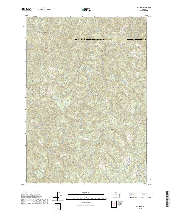
2023 Elk Peak
Coos County, OR
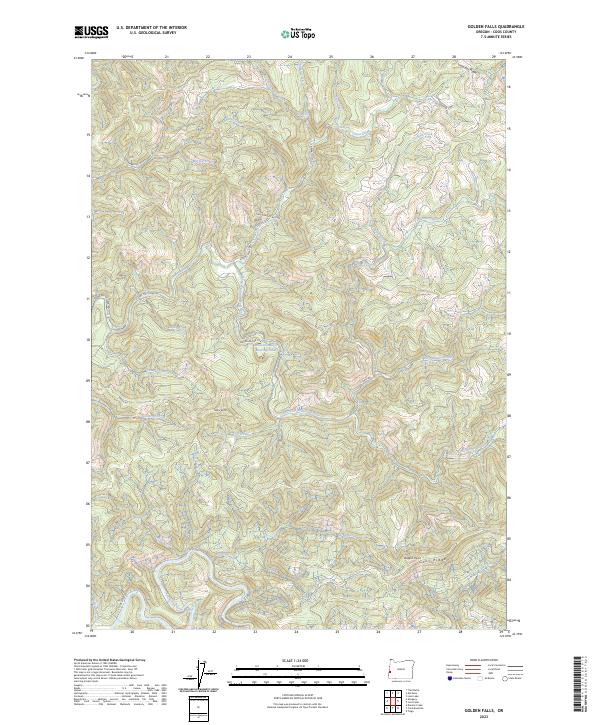
2023 Golden Falls
Coos County, OR
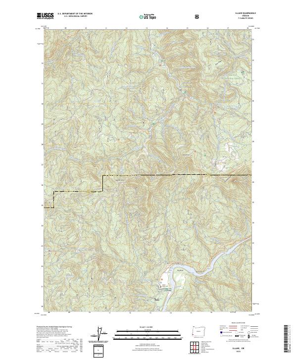
2023 Illahe
Coos County, OR
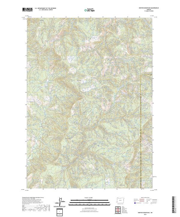
2023 Kenyon Mountain
Coos County, OR
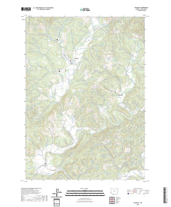
2023 McKinley
Coos County, OR
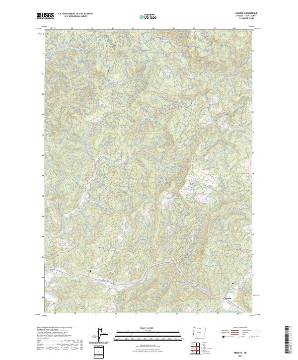
2023 Remote
Coos County, OR
2023 Sitkum
Coos County, OR
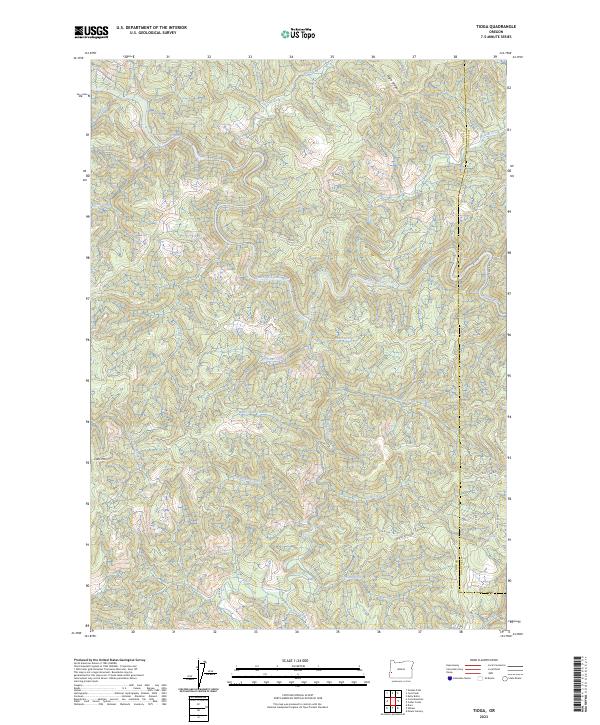
2023 Tioga
Coos County, OR
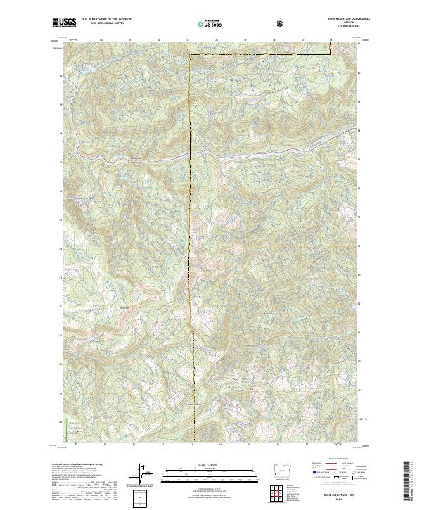
2024 Bone Mountain
Coos County, OR
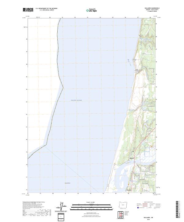
2024 Bullards
Coos County, OR
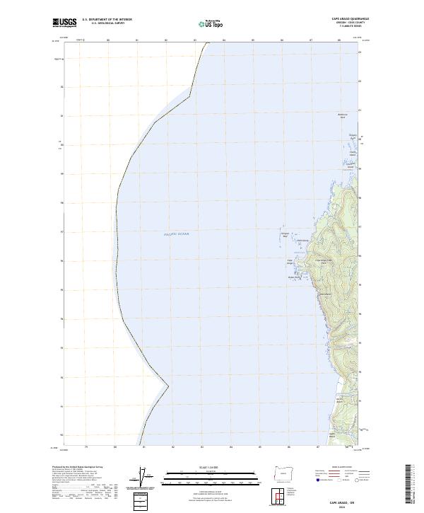
2024 Cape Arago
Coos County, OR
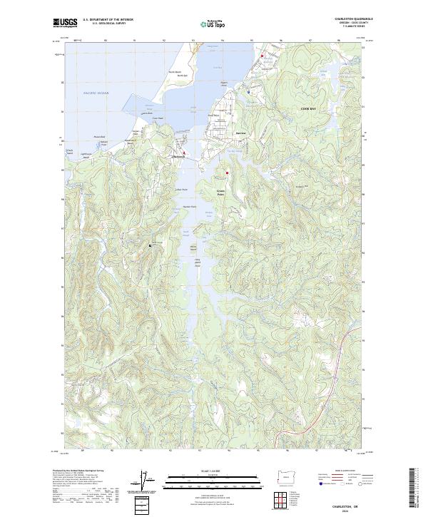
2024 Charleston
Coos County, OR
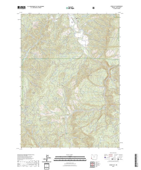
2024 China Flat
Coos County, OR
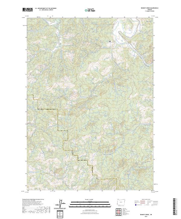
2024 Dement Creek
Coos County, OR
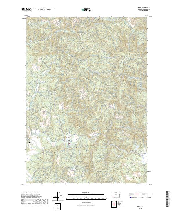
2024 Dora
Coos County, OR
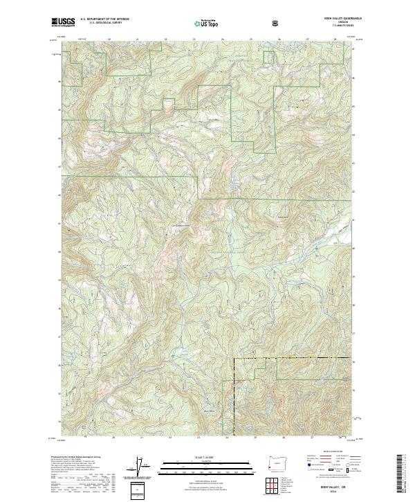
2024 Eden Valley
Coos County, OR
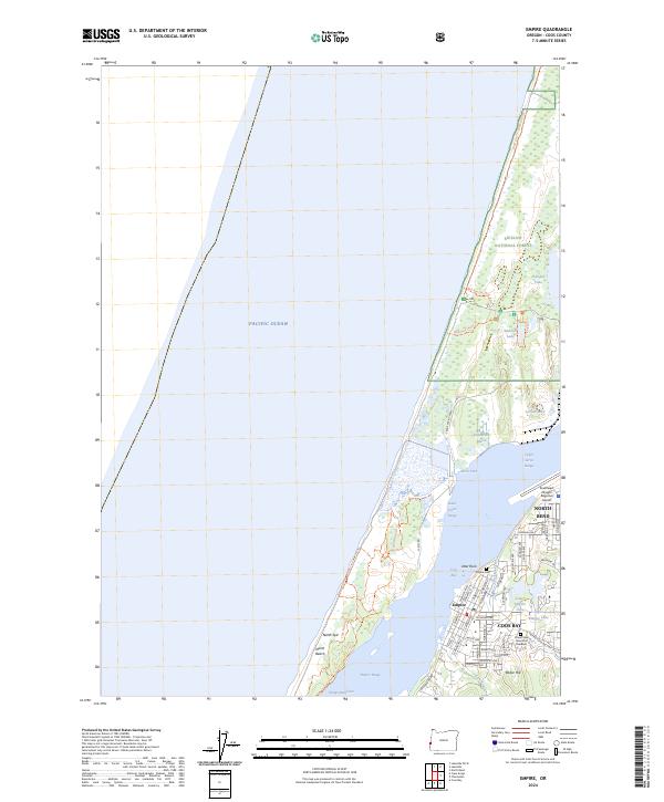
2024 Empire
Coos County, OR
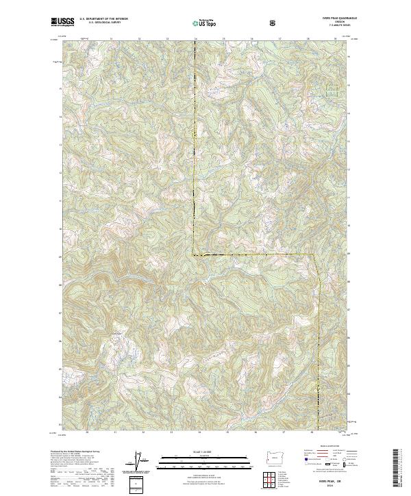
2024 Ivers Peak
Coos County, OR
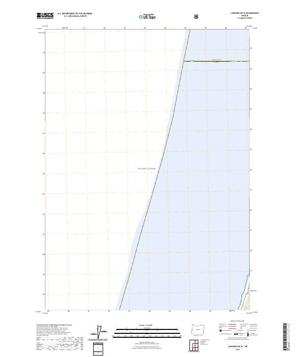
2024 Lakeside OE W
Coos County, OR
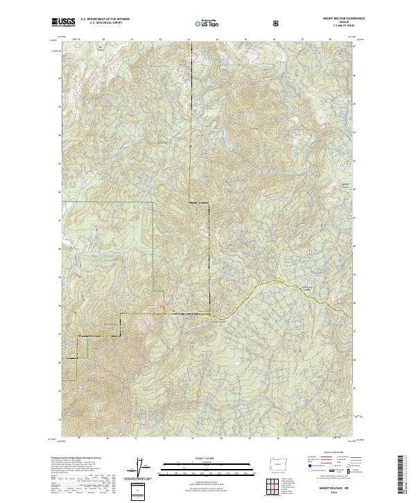
2024 Mount Bolivar
Coos County, OR
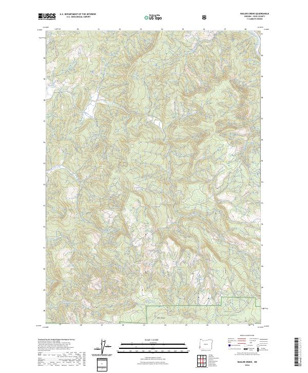
2024 Rasler Creek
Coos County, OR
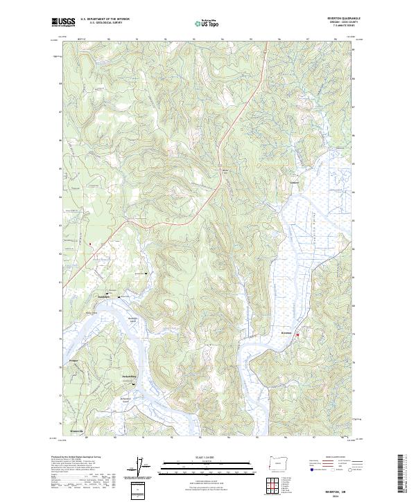
2024 Riverton
Coos County, OR
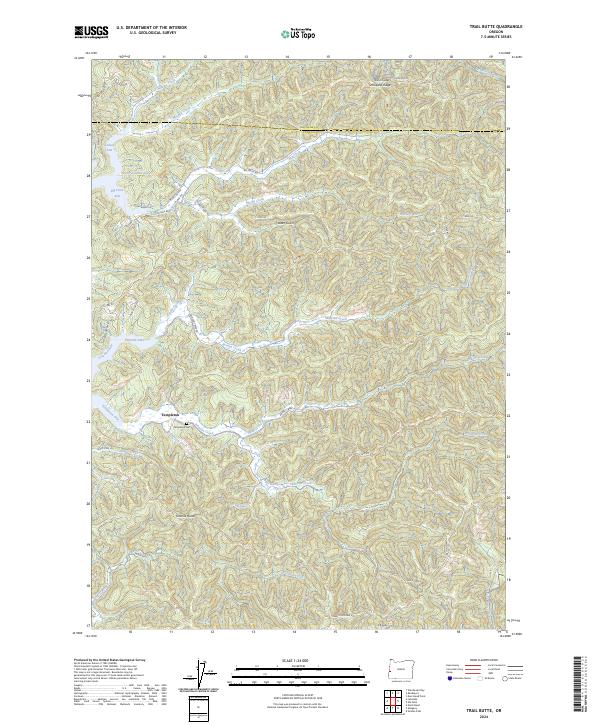
2024 Trail Butte
Coos County, OR