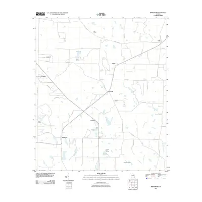
2011 Map of Bridgeboro
USGS Topo · Published 2011About this map
Bridgeboro and the surrounding Worth County landscape are defined by a network of agricultural roads and small water bodies in this 2011 survey. The Ochlockonee River and Little Ochlockonee River wind through the eastern portion of the quadrangle, while several named dams including Pritchard Lake Dam and Sears Lake Dam manage the local hydrology. Local history is anchored by several rural burial grounds such as Parker Cemetery, Evergreen Cemetery, and Rocky Mount Cemetery. Small named settlements and residential areas like Gordy, Parkerville, and the Dry Creek Subdivision illustrate the low-density development of the region. The map also traces the paths of local landmarks like Bridge Creek and the southern reaches of Varnadoe North Lake, providing a clear view of land use and family names associated with the local topography.
Find a feature on this map
68 named features on this map. Tap any name to fly to it.
Don’t see what you’re looking for? This feature index may not catch every label — zoom into the map to look around manually.
Map Details
Editions of this 2011 Bridgeboro Map
This is the sole edition of this map. No revisions or reprints were ever made.
Other maps of this area

1953 · Dothan
USGS Topo · 1:250,000

1953 · Waycross
USGS Topo · 1:250,000

1954 · Dothan
USGS Topo · 1:250,000

1955 · Dothan
USGS Topo · 1:250,000

1956 · Albany East
USGS Topo · 1:24,000

1956 · Baconton
USGS Topo · 1:62,500

1956 · Sylvester
USGS Topo · 1:62,500

1956 · Doerun
USGS Topo · 1:62,500

1956 · Albany
USGS Topo · 1:62,500

1958 · Waycross
USGS Topo · 1:250,000