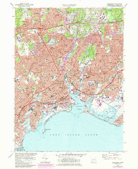
1970 Map of Bridgeport
USGS Topo · Published 1984About this map
The Pequannock River carves through the heart of this coastal industrial landscape, meeting Long Island Sound at the bustling Bridgeport Harbor. During this mid-century period, the area exhibits a dense urban fabric defined by a massive network of neighborhood schools and parish institutions, including Sacred Heart University and the University of Bridgeport. The transportation infrastructure is dominated by the Connecticut Turnpike and the Merritt Parkway, while the Amtrak line services the East End Freight Yards near Johnson Creek. Extensive green spaces like Beardsley Park and Fairchild-Wheeler Park provide a counterpoint to the industrial waterfront. To the east, the Igor Sikorsky Memorial Airport occupies the flats near Great Meadows, marking the transition into Stratford and the Housatonic River mouth.
Find a feature on this map
133 named features on this map. Tap any name to fly to it.
Don’t see what you’re looking for? This feature index may not catch every label — zoom into the map to look around manually.
Map Details
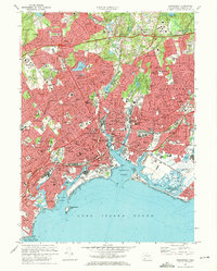
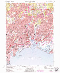
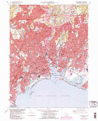
Editions of this 1970 Bridgeport Map
4 editions found
Other maps of this area

1889 · Derby
USGS Topo · 1:62,500

1891 · Bridgeport
USGS Topo · 1:62,500

1891 · Derby
USGS Topo · 1:62,500

1892 · Danbury
USGS Topo · 1:62,500

1892 · Norwalk
USGS Topo · 1:62,500

1893 · Bridgeport
USGS Topo · 1:62,500

1893 · Norwalk
USGS Topo · 1:62,500

1893 · Derby
USGS Topo · 1:62,500

1915 · Danbury
USGS Topo · 1:62,500

1920 · Bridgeport
USGS Topo · 1:62,500