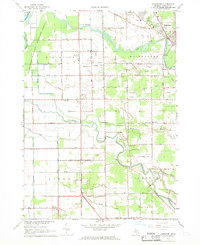
1967 Map of Bridgeport
USGS Topo · Published 1969About this map
The Cass River and Flint River converge toward the larger Saginaw basin in this late-1960s survey of southern Saginaw County. The landscape is defined by its low-lying hydrology, with the Shiawassee National Wildlife Refuge protecting the western marshlands near Ferguson Bayou. Rural settlements like Fosters and the outskirts of Bridgeport are connected by a network of sectional roads and the Chesapeake and Ohio railroad.
Find a feature on this map
52 named features on this map. Tap any name to fly to it.
Don’t see what you’re looking for? This feature index may not catch every label — zoom into the map to look around manually.
Map Details
Editions of this 1967 Bridgeport Map
2 editions found
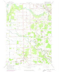
Other maps of this area

1917 · Chesaning
USGS Topo · 1:62,500

1917 · St. Charles
USGS Topo · 1:62,500

1919 · Saginaw
USGS Topo · 1:62,500

1919 · Burt
USGS Topo · 1:62,500

1921 · Burt
USGS Topo · 1:62,500

1941 · Saginaw
USGS Topo · 1:62,500

1943 · Burt
USGS Topo · 1:62,500

1943 · Chesaning
USGS Topo · 1:62,500

1943 · Saginaw
USGS Topo · 1:62,500

1943 · St. Charles
USGS Topo · 1:62,500
Featured Places
- James Township, MI
- Albee Township, MI
- Spaulding Township, MI
- Fosters, MI
- Bridgeport Charter Township, MI