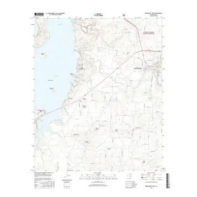
2016 Map of Bridgeport West
USGS Topo · Published 2016About this map
Lake Bridgeport dominates the western landscape of this Wise County region, where the shoreline is punctuated by prominent points and inlets like Saddle Gap, Crappie Cove, and Twin Hills Point. The settlement of Bridgeport sits to the east, positioned near the West Fork Trinity River and served by the Bridgeport Municipal Airport. To the northeast, the Lyndon B. Johnson National Grassland provides a protected contrast to the residential developments of Runaway Bay and the smaller community of Rickels.
Find a feature on this map
117 named features on this map. Tap any name to fly to it.
Don’t see what you’re looking for? This feature index may not catch every label — zoom into the map to look around manually.
Map Details
Editions of this 2016 Bridgeport West Map
This is the sole edition of this map. No revisions or reprints were ever made.
Other maps of this area

1930 · Boyd
USGS Topo · 1:62,500

1954 · Sherman
USGS Topo · 1:250,000

1958 · Sherman
USGS Topo · 1:250,000

1960 · Bridgeport West
USGS Topo · 1:24,000

1960 · Bridgeport East
USGS Topo · 1:24,000

1960 · Gibtown
USGS Topo · 1:24,000

1960 · Cottondale
USGS Topo · 1:24,000

1960 · Wizard Wells
USGS Topo · 1:24,000
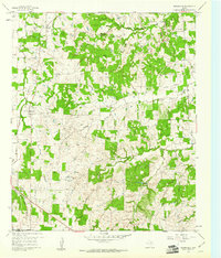
1960 · Boonsville
USGS Topo · 1:24,000

1961 · Alvord
USGS Topo · 1:24,000