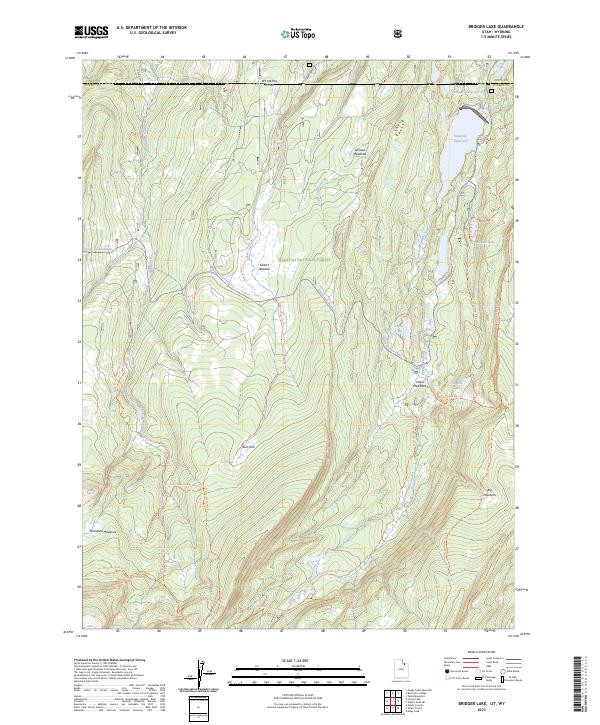
2023 Map of Bridger Lake
USGS Topo · Published 2023About this map
Stateline Reservoir and Grahams Reservoir dominate the northern landscape of this high-altitude region along the border of Utah and Wyoming. Situated within the Wasatch National Forest and the northern reaches of the High Uintas Wilderness, the area is defined by a network of drainage systems including West Fork Smiths Fork and East Fork Smiths Fork. The map documents a transition from the lower Johnson Meadows and Gilbert Meadow to the higher alpine terrain of Mansfield Meadows and Big Meadows. A dense system of recreation paths and access routes, such as the North Slope Highline Trl and Gilbert Creek Rd, illustrates the area's development for modern wilderness access. The presence of Bridger Lake and China Lake highlights the concentrated water resources that have historically dictated movement through these mountain passes.
Find a feature on this map
34 named features on this map. Tap any name to fly to it.
Don’t see what you’re looking for? This feature index may not catch every label — zoom into the map to look around manually.
Map Details
Editions of this 2023 Bridger Lake Map
This is the sole edition of this map. No revisions or reprints were ever made.
Other maps of this area

1885 · Uinta
USGS Topo · 1:250,000

1901 · Hayden Peak
USGS Topo · 1:125,000

1903 · Hayden Peak
USGS Topo · 1:125,000

1905 · Gilbert Peak
USGS Topo · 1:125,000

1906 · Gilbert Peak
USGS Topo · 1:125,000

1954 · Salt Lake City
USGS Topo · 1:250,000

1954 · Ogden
USGS Topo · 1:250,000

1958 · Ogden
USGS Topo · 1:250,000

1958 · Salt Lake City
USGS Topo · 1:250,000

1960 · Ogden
USGS Topo · 1:250,000