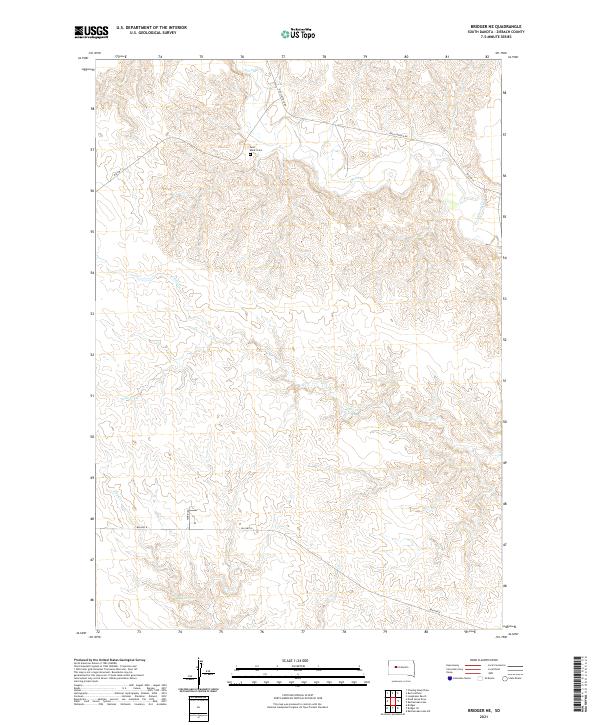
2021 Map of Bridger NE
USGS Topo · Published 2021About this map
Saint Mark's Cem stands as a central point of historical interest in this portion of Ziebach County, positioned amidst a network of drainage basins that define the local topography. The landscape is carved by several watercourses, most notably Cherry Cr in the north and the divergent paths of Felix Cr and N Felix Cr which flow across the central sections. This 2021 survey reveals a rural area primarily organized around bureau-managed infrastructure, with transit routes like Bia Hwy 13 and Red Scaffold Rd providing the essential connections between remote ranchlands and smaller settlements. Further south, Dog Cr and Bia Hwy 8 trace the terrain, reflecting a pattern of land use where roads frequently follow the natural contours of the stream valleys and ridge lines of the South Dakota plains.
Find a feature on this map
13 named features on this map. Tap any name to fly to it.
Don’t see what you’re looking for? This feature index may not catch every label — zoom into the map to look around manually.
Map Details
Editions of this 2021 Bridger NE Map
This is the sole edition of this map. No revisions or reprints were ever made.
Other maps of this area

1954 · Pierre
USGS Topo · 1:250,000

1955 · Bridger
USGS Topo · 1:24,000

1955 · Rattlesnake Lake SW
USGS Topo · 1:24,000

1955 · Rattlesnake Lake
USGS Topo · 1:24,000

1955 · Bridger SE
USGS Topo · 1:24,000

1958 · Pierre
USGS Topo · 1:250,000

1982 · Chasing Hawk Draw
USGS Topo · 1:24,000

1982 · Dead Horse Draw
USGS Topo · 1:24,000

1982 · Bridger NE
USGS Topo · 1:24,000

1982 · Red Scaffold
USGS Topo · 1:24,000