
1980 Map of Bridgewater
USGS Topo · Published 1981About this map
Bridgewater serves as the central hub of this agricultural landscape in southwestern Iowa, situated along the Burlington Northern railroad corridor. The terrain is defined by the convergent drainages of the West Nodaway River and the Middle Nodaway River, with numerous named tributaries like Thompson Creek and Williams Cr carving through the countryside. The presence of the Mormon Trail County Park underscores the historical migration routes that crossed this region long before the modern township grids of Washington and Victoria were established.
Find a feature on this map
27 named features on this map. Tap any name to fly to it.
Don’t see what you’re looking for? This feature index may not catch every label — zoom into the map to look around manually.
Map Details
Editions of this 1980 Bridgewater Map
This is the sole edition of this map. No revisions or reprints were ever made.
Other maps of this area

1954 · Omaha
USGS Topo · 1:250,000

1957 · Omaha
USGS Topo · 1:250,000

1958 · Omaha
USGS Topo · 1:250,000

1971 · Fontanelle
USGS Topo · 1:24,000

1971 · Massena
USGS Topo · 1:24,000

1971 · Fontanelle SW
USGS Topo · 1:24,000

1980 · Nevinville
USGS Topo · 1:24,000

1980 · Corning North
USGS Topo · 1:24,000
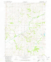
1980 · Carbon
USGS Topo · 1:24,000
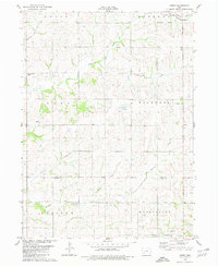
1980 · Dewey
USGS Topo · 1:24,000