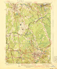
1940 Map of Bridgewater
USGS Topo · Published 1940About this map
The agricultural and institutional landscape of southeastern Massachusetts is documented here shortly before the mid-century, defined by the winding course of the Taunton River and its numerous tributaries. At the heart of the sheet lies the extensive State Farm and the Lakeville State Sanitorium, reflecting the region's historical role in hosting significant state institutions. The New York New Haven and Hartford RR provides a backbone for the local economy, connecting industrial centers like Middleboro and Bridgewater to the wider rail network through points like North Lakeville Station.
Find a feature on this map
73 named features on this map. Tap any name to fly to it.
Don’t see what you’re looking for? This feature index may not catch every label — zoom into the map to look around manually.
Map Details
Editions of this 1940 Bridgewater Map
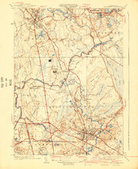
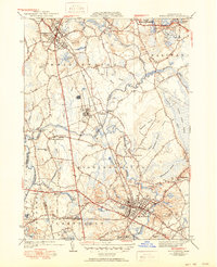
3 editions found
Other maps of this area

1885 · Abington
USGS Topo · 1:62,500

1885 · Middleboro
USGS Topo · 1:62,500

1885 · Taunton
USGS Topo · 1:62,500

1886 · Dedham
USGS Topo · 1:62,500

1888 · Taunton
USGS Topo · 1:62,500

1888 · Middleboro
USGS Topo · 1:62,500

1888 · Abington
USGS Topo · 1:62,500

1893 · Abington
USGS Topo · 1:62,500

1893 · Taunton
USGS Topo · 1:62,500

1893 · Middleboro
USGS Topo · 1:62,500