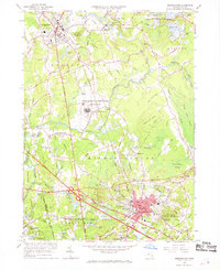
1962 Map of Bridgewater
USGS Topo · Published 1969About this map
Bridgewater and Middleboro serve as the primary hubs in this early 1960s snapshot of Plymouth County, where the industrial and correctional history of the region is etched into the landscape. The sprawling Massachusetts Correctional Institution occupies a significant portion of the central terrain, situated near South Bridgewater and the meandering Taunton River. The area's agricultural identity is visible through numerous Cranberry Bogs scattered throughout the lowlands, particularly near Beaverdam Swamp and Great Cedar Swamp. Transportation is dominated by the New York New Haven and Hartford railroad lines and several historic river crossings like Woodward Bridge and Sturtevant Bridge. Local genealogy is well-supported by a high density of burial grounds, including Jennings Hill Cem and Purchase Cem, alongside neighborhood schools like the Mc Elwain Sch and Mayflower Sch.
Find a feature on this map
72 named features on this map. Tap any name to fly to it.
Don’t see what you’re looking for? This feature index may not catch every label — zoom into the map to look around manually.
Map Details
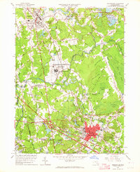
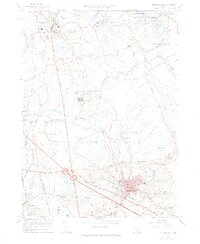
Editions of this 1962 Bridgewater Map
3 editions found
Other maps of this area

1885 · Abington
USGS Topo · 1:62,500

1885 · Middleboro
USGS Topo · 1:62,500

1885 · Taunton
USGS Topo · 1:62,500

1886 · Dedham
USGS Topo · 1:62,500

1888 · Taunton
USGS Topo · 1:62,500

1888 · Middleboro
USGS Topo · 1:62,500

1888 · Abington
USGS Topo · 1:62,500

1893 · Abington
USGS Topo · 1:62,500

1893 · Taunton
USGS Topo · 1:62,500

1893 · Middleboro
USGS Topo · 1:62,500