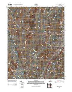
2010 Map of Bridgewater
USGS Topo · Published 2010About this map
Bridgewater and the western edge of Harrisonburg anchor this 2010 topographic record of the central Shenandoah Valley. The landscape is defined by the winding course of the North River and the numerous small waterways that drain the valley floor, including Muddy Creek and Cooks Creek. Agricultural and residential patterns are well-established, with distinct smaller communities such as Dayton, Mount Clinton, and Montezuma connected by a network of rural roads.
Find a feature on this map
82 named features on this map. Tap any name to fly to it.
Don’t see what you’re looking for? This feature index may not catch every label — zoom into the map to look around manually.
Map Details
Editions of this 2010 Bridgewater Map
This is the sole edition of this map. No revisions or reprints were ever made.
Other maps of this area

1892 · Franklin
USGS Topo · 1:125,000

1892 · Woodstock
USGS Topo · 1:125,000

1892 · Harrisonburg
USGS Topo · 1:125,000

1894 · Staunton
USGS Topo · 1:125,000

1896 · Franklin
USGS Topo · 1:125,000
1922 · Fort Seybert
USGS Topo · 1:48,000
1924 · Fort Seybert
USGS Topo · 1:62,500
1941 · Harrisonburg
USGS Topo · 1:62,500
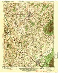
1943 · Harrisonburg
USGS Topo · 1:62,500
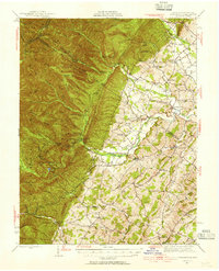
1944 · Parnassus
USGS Topo · 1:62,500