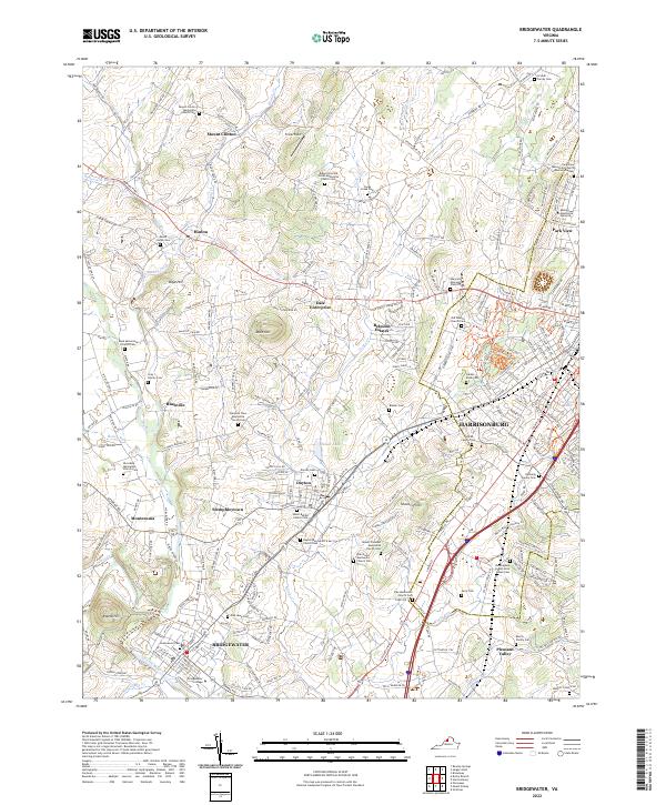
2022 Map of Bridgewater
USGS Topo · Published 2022About this map
Bridgewater and Harrisonburg anchor this modern survey of Rockingham County, illustrating a landscape deeply defined by its educational and faith-based institutions. The presence of Bridgewater College and Eastern Mennonite University highlights the region's academic foundations, while a high density of Mennonite and Baptist meeting houses and cemeteries suggests a long-standing communal heritage. Small settlements like Dayton and Stemphleytown are connected by historically significant corridors like the South Valley Pike and Rawley Pike.
Find a feature on this map
79 named features on this map. Tap any name to fly to it.
Don’t see what you’re looking for? This feature index may not catch every label — zoom into the map to look around manually.
Map Details
Editions of this 2022 Bridgewater Map
This is the sole edition of this map. No revisions or reprints were ever made.
Other maps of this area

1892 · Franklin
USGS Topo · 1:125,000

1892 · Woodstock
USGS Topo · 1:125,000

1892 · Harrisonburg
USGS Topo · 1:125,000

1894 · Staunton
USGS Topo · 1:125,000

1896 · Franklin
USGS Topo · 1:125,000
1922 · Fort Seybert
USGS Topo · 1:48,000
1924 · Fort Seybert
USGS Topo · 1:62,500
1941 · Harrisonburg
USGS Topo · 1:62,500
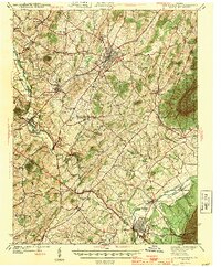
1943 · Harrisonburg
USGS Topo · 1:62,500
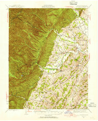
1944 · Parnassus
USGS Topo · 1:62,500