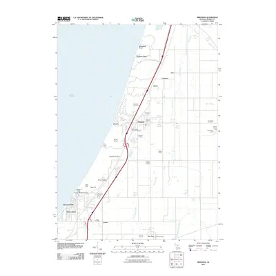
2011 Map of Bridgman
USGS Topo · Published 2011About this map
Lake Michigan forms the western boundary of this coastal survey, where massive sand formations like Great Warren Dune and Mount Edward rise above the shoreline. The settlement pattern follows the lake's edge and the inland rail and highway corridors, connecting the town of Bridgman with smaller communities such as Sawyer and New Troy. Local infrastructure includes aviation markers like Myers Airport and Del Hickcox Airport, alongside recreational spaces like the Lost Dunes Golf Course and Weko Beach Campground.
Find a feature on this map
39 named features on this map. Tap any name to fly to it.
Don’t see what you’re looking for? This feature index may not catch every label — zoom into the map to look around manually.
Map Details
Editions of this 2011 Bridgman Map
This is the sole edition of this map. No revisions or reprints were ever made.
Other maps of this area

1927 · Niles
USGS Topo · 1:62,500

1927 · Benton Harbor
USGS Topo · 1:62,500

1930 · Three Oaks
USGS Topo · 1:62,500

1930 · Benton Harbor
USGS Topo · 1:62,500

1930 · Niles
USGS Topo · 1:62,500

1943 · Niles
USGS Topo · 1:62,500

1944 · Three Oaks
USGS Topo · 1:62,500

1953 · Chicago
USGS Topo · 1:250,000

1957 · Chicago
USGS Topo · 1:250,000

1958 · Racine
USGS Topo · 1:250,000