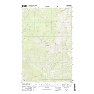
2017 Map of Brief
USGS Topo · Published 2017About this map
Brief sits along the Entiat River in this detailed survey of the southern Chelan Mountains. The landscape is dominated by the steep, wooded reaches of the Wenatchee National Forest, where high-elevation drainage basins feed numerous named water bodies. Upper Pawn Lake and Lower Pawn Lake are situated in the Lake Creek Basin to the north, while smaller features like Bear Lake and the cascading Preston Falls are found further south. High ridges define the topography, most notably the Devils Backbone and Fourmile Ridge. Movement through this vertical terrain is restricted to established routes like Entiat River Rd and the high-altitude Shady Pass Rd, which crosses near Shady Pass and Chesapeake Saddle along the northern border.
Find a feature on this map
58 named features on this map. Tap any name to fly to it.
Don’t see what you’re looking for? This feature index may not catch every label — zoom into the map to look around manually.
Map Details
Editions of this 2017 Brief Map
This is the sole edition of this map. No revisions or reprints were ever made.
Other maps of this area

1899 · Methow
USGS Topo · 1:125,000

1901 · Chelan
USGS Topo · 1:125,000

1901 · Methow
USGS Topo · 1:125,000

1901 · Chiwaukum
USGS Topo · 1:125,000

1902 · Stehekin
USGS Topo · 1:125,000

1904 · Stehekin
USGS Topo · 1:125,000

1904 · Chiwaukum
USGS Topo · 1:125,000

1944 · Lucerne
USGS Topo · 1:62,500

1949 · Lucerne
USGS Topo · 1:62,500

1955 · Concrete
USGS Topo · 1:250,000