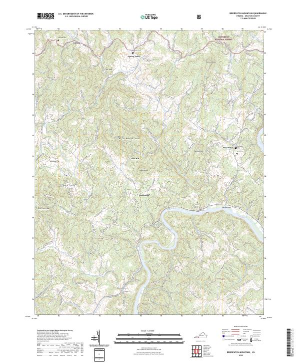
2022 Map of Brierpatch Mountain
USGS Topo · Published 2022About this map
Spring Valley and the northern reaches of the Jefferson National Forest define this area of Grayson County, where the New River carves a deep, winding path through the Blue Ridge terrain. The landscape is characterized by prominent peaks like Point Lookout Mtn, Brierpatch Mtn, and The Pilot, interspersed with hollows such as Kingdom Hollow. Small crossroads and historic sites are scattered throughout, including the settlement of Fallville and the Clito Mill site along Elk Creek. Genealogists will find significant value in the mapped locations of several local burial grounds, including Jerusalem Cem, Ebenezer Cem, and Warrick Cem. The road network, featuring historic thoroughfares like Old Colonial Rd and Rabbit Hollow Rd, reveals the enduring rural structure of this mountain community, connecting disparate ridges and creek valleys like Knob Fork and Bull Run.
Find a feature on this map
121 named features on this map. Tap any name to fly to it.
Don’t see what you’re looking for? This feature index may not catch every label — zoom into the map to look around manually.
Map Details
Editions of this 2022 Brierpatch Mountain Map
This is the sole edition of this map. No revisions or reprints were ever made.
Other maps of this area

1889 · Hillsville
USGS Topo · 1:125,000

1889 · Wytheville
USGS Topo · 1:125,000

1892 · Hillsville
USGS Topo · 1:125,000

1892 · Wytheville
USGS Topo · 1:125,000

1896 · Hillsville
USGS Topo · 1:125,000

1930 · Speedwell
USGS Topo · 1:62,500

1930 · Independence
USGS Topo · 1:48,000

1930 · Max Meadows
USGS Topo · 1:62,500

1931 · Galax
USGS Topo · 1:48,000

1933 · Independence
USGS Topo · 1:62,500